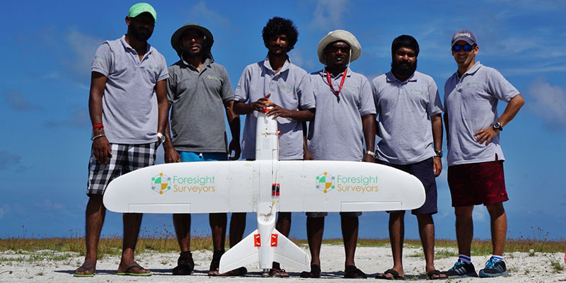
In 2016 Aeromao was hired by Foresight Surveyors to perform a survey over an entire island in the Maldives.
Foresight Surveyors Aeromapper Talon Over Maldives Islands
Description
In 2016 Aeromao was hired by Foresight Surveyors to perform a survey over an entire island in the Maldives.
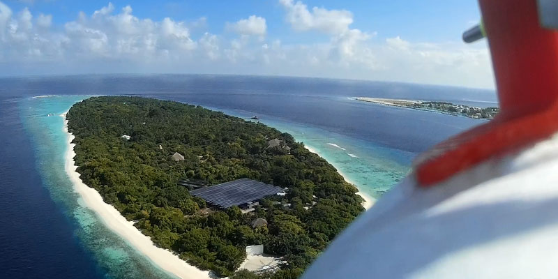
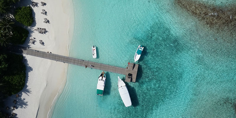
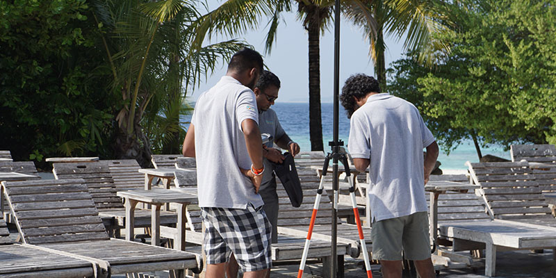
An Aeromapper Talon was used to survey a total area of approximately 251 acres or 1 Sq. Km. at a GSD of 2cm/pixel. The UAV flew at a cruise altitude of 100 m AGL and collected 1422 photos with an amazing level of detail. A DSM, orthophoto and point cloud were generated using Pix4DMapper. Despite the 2 hour flight endurance capability of the Aeromapper Talon, the mission was successfully completed in only 45 minutes. The UAV flew at a maximum distance from the ground control of 2km, although it could have gone a lot further thanks to its BVLOS capabilities.
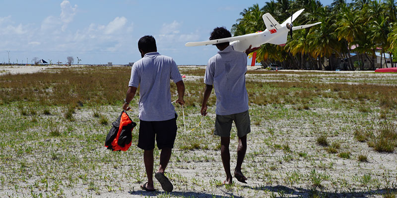
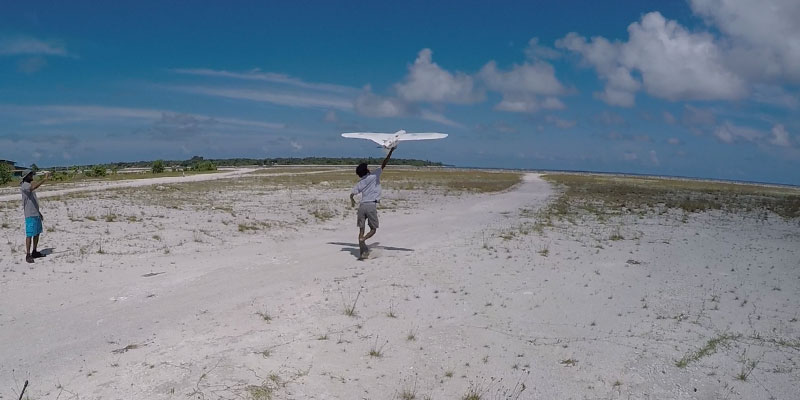
The UAV flew flawlessly and was launched and recovered via parachute from a nearby island approximately 1 km away, due to the limited space available for takeoff and landing on the target island.
The Aeromapper Talon utilized is owned by Foresight Surveyors purchased by the year 2014.
The purpose of the survey was to generate an orthophoto to trace the as-built for future developments taking place in the island. Thanks for the data acquired, the client received an up-to-date high resolution property map which was easier to be used by the project department and decision makers. As well, the othophoto was useful for their environmental monitoring purposes and biodiversity mapping.
To read the full article go here: https://aeromao.com/2016/12/01/aeromapper-talon-surveys-a-complete-island-in-the-maldives-in-a-single-flight/
Summary
CLIENT: Foresight Surveyors
LOCATION: Maldives Islands
UAV: Aeromapper Talon
