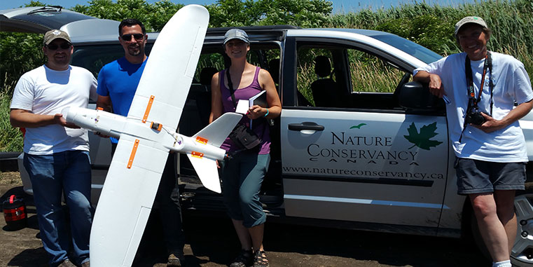
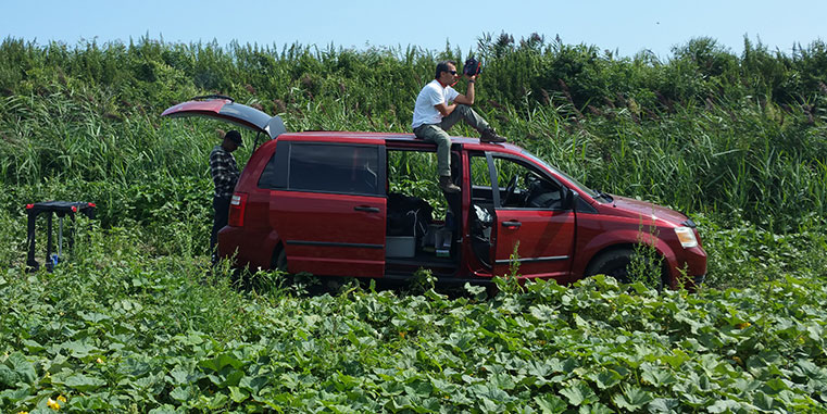
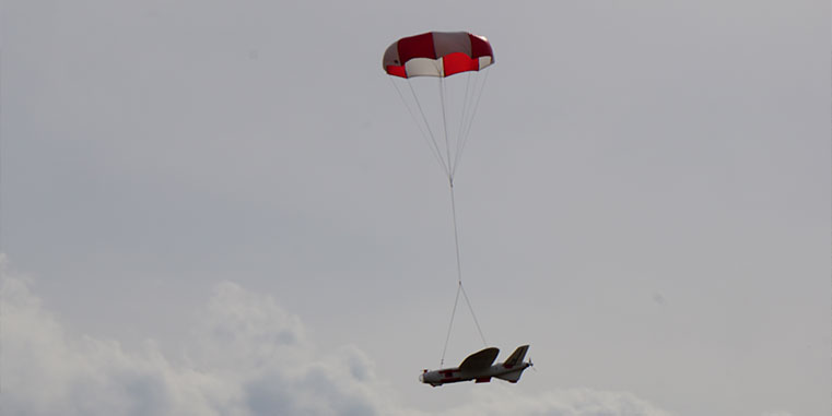
Aeromao Inc, was commissioned by the Nature Conservancy of Canada in the summer of 2017 to assist in survey flights over Turkey Point, Ontario, as part of their efforts to control the invasive Phragmites.
Surveying Marshlands For Invasive Species In Turkey Point, Ontario, Canada
Description
Invasive Phragmites is a non-native, invasive reed from Eurasia, and it is quickly spreading throughout North America. Found mostly in wetlands, this towering plant takes over moist areas, choking out all other life. It outcompetes native wetland plants, leaving frogs and turtles without vital habitat and blocking shoreline views and access. Once introduced into an area, the plant’s roots spread far and wide below wetlands in a vast network of rhizomes. Its seeds are easily wind-dispersed, allowing phragmites to further invade other habitats.
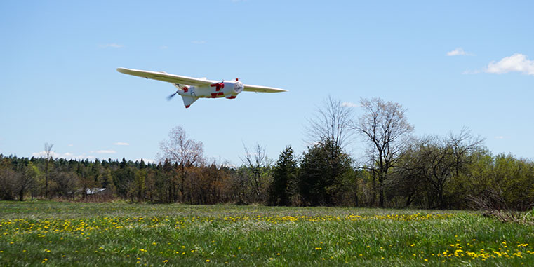
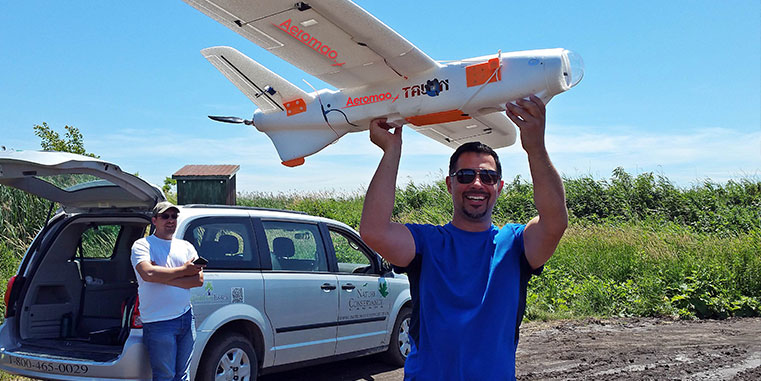
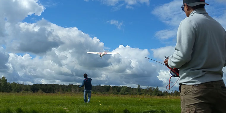
Aeromao Inc. performed two days of grid aerial surveys with an Aeromapper Talon over Turkey Point under SFOC authorization, covering an approximate area of little more of 1,000 Has in six flights at 75% sidelap. Approximately 6000 images were collected from 115m of altitude, resulting in very high resolution imagery.
The Aeromapper Talon came as pretty much the only cost-effective tool to survey this specific marshland, given the difficulty of access and mobility around the terrain. The UAV was flow at a maximum distance of 2km from the operators due to SFOC imitations, but it could have gone further thanks to its BVLOS capabilities.
The purpose of the flights was to establish a post-assessment of previous helicopter spraying efforts to control the plant growth. A single UAV worked flawlessly for the entire survey exercise.
Summary
CLIENT: Nature Conservancy of Canada
LOCATION: Turkey Point, Ontario
UAV: Aeromapper Talon
