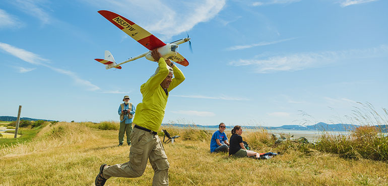
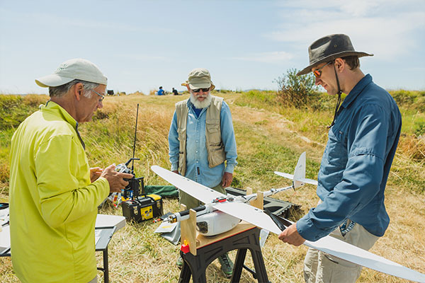
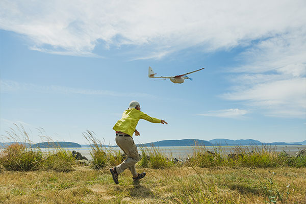
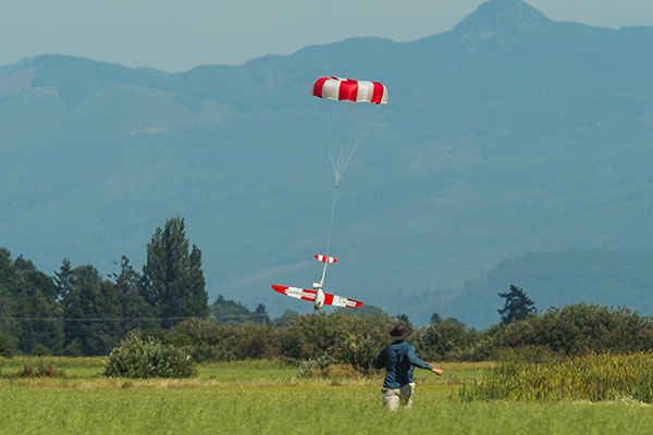
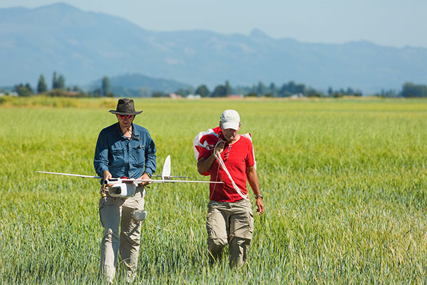
Western Washington University graduate student Jefferson Emm and Professor of Environmental Science David Wallin are using a pair of unmanned aerial vehicles to complete a census of the eelgrass beds in Skagit County’s Padilla Bay.
Healthy eelgrass beds are vital nursery habitat for a variety of ecologically and commercially important fish and shellfish species such as herring, salmon, and Dungeness crab. Padilla Bay, one of 29 waterways in the country’s National Estuarine Research Reserve system, is the largest contiguous eelgrass meadow in the country south of Alaska and the second-largest on the entire West Coast.
Mapping eelgrass beds has largely in the past been done by aerial imagery is taken from manned aircraft or via satellites, but this project is the first to use unmanned aircraft systems to conduct an eelgrass census, and Emm said part of the draw to attempt this project wasn’t just the importance of the data, but it was the novel way being employed to get that information.
“UAS (unmanned aircraft systems) and camera technology have rapidly improved in recent years while becoming more affordable and available, so it opened a window for us to try it. Each of the two vehicles has a type of camera that tells us different things about the eelgrass cover below it,” he said. “The cameras use spectral signatures unique to each cover type, like a fingerprint. We hope to use the imagery to delineate the invasive eelgrass, Zostera japonica, from the native eelgrass, Zostera marina.”Understanding how the invasive eelgrass species is competing with – or coexisting with – the native species is a huge part of what they hope to find out, said Wallin.
Wallin’s research has heretofore been as a terrestrial ecologist, but he is trying to find more applications for UAS to do remote sensing of populations that might not be as easily discoverable or accurately counted without the eyes in the sky. He worked with the U.S. Geological Survey using a UAS to seek out and count the Skagit County elk herd, for example, but this is the first time he has literally set up his office in knee-deep water more than a mile out into a bay.
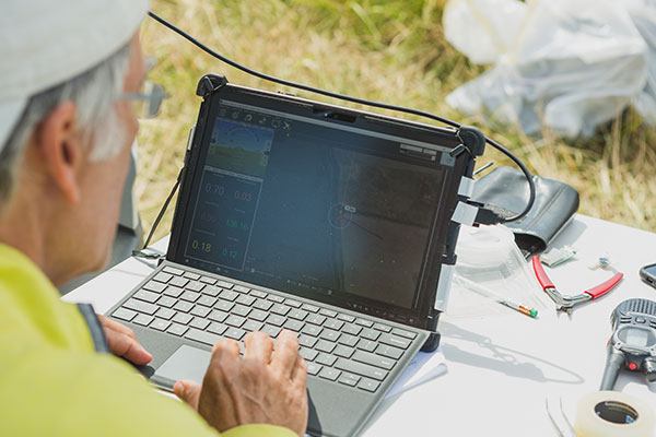
Each day during the data-gathering phase, Emm, Wallin, and a host of student and community volunteers pull sleds out into the bay from the dike near Samish Island. The sleds hold everything needed for an afternoon of research: dry bags with laptops, cameras, extra batteries, spare parts, and a pair of small tables. Once at the survey area – as far as 2500 meters from shore, but at the lowest lunar tides, the water is still the only shin deep – the tables are set up, the vehicles unpacked and charged, and flights begin.
The drones being used for this research are an Aeromapper EV2 and a 3D Robotics Solo.
To read the complete article: https://westerntoday.wwu.edu/features/summer-field-work-wwu-graduate-student-professor-monitoring-the-health-of-padilla-bay-using
For a complete gallery of images click here: https://www.flickr.com/photos/wwu/sets/72157685789204174/with/36758401411/
