Description
MicroSurvey brings decades of innovation and expertise in survey field software creation to our next generation multi-platform FieldGenius application.
New technology opens opportunities to develop better tools for the survey industry. FieldGenius for Android™ extends MicroSurvey’s mission to provide a brand-neutral solution, supporting most common hardware available in the market today. Our map-driven data collection software is easy to use and intuitive, reducing training time. New data panels provide information that is synchronized to the maps display, which will be appreciated by both skilled and new employees. MicroSurvey has used its decades of experience in data collection as a guide, applying its knowledge to the android platform, and enhancing established workflows to be more efficient and intuitive. Downtime is expensive; you can leverage your existing FieldGenius skill set the next time you need to upgrade your equipment or switch manufacturers. MicroSurvey remains dedicated to consistency in the use of our data collection software, regardless of the device you choose to run it on.
Product Explanation
Creating a New Project
Point Line
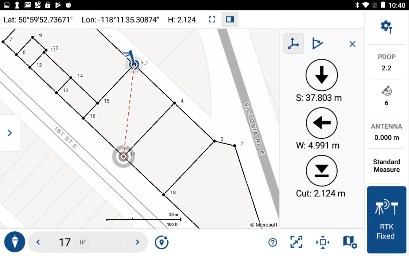
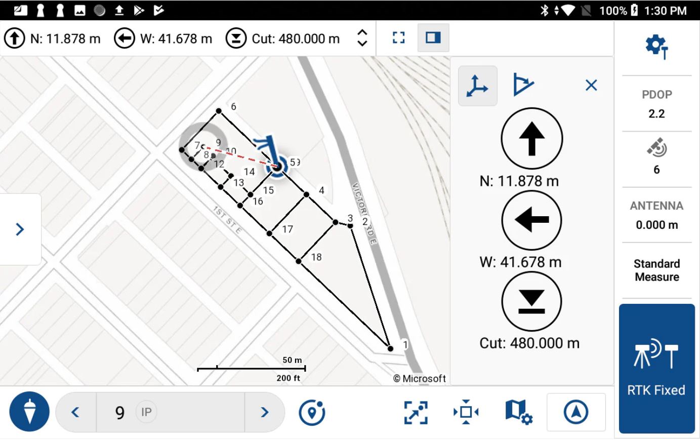
Staking
Watch here the full playlist of video tutorials and features
FieldGenius for Android
- Collect Points
- Edit Points
- Plot Points
- Draw Lines
- Set Coordinate System
- Import CAD files
- Stake-out Points
- Import Code List
- Import Data (dxf, txt, csv, shapefiles, etc)
- Export Data (dxf, txt, csv, shapefiles, etc)
- Change Background Map
MicroSurvey is continually improving FieldGenius for Android™ adding new features and enhancements based on customer feedback. We actively engage with our customers to find out what is most important to you and bring new functionality to FieldGenius as quickly as possible. Here are some of the new functionality recently added to FieldGenius for Android.
GIS Attribute Collection: Watch video
Feature File Manager: Watch video
Shapefile Import/Export: Watch video
COGO Pt..Pt Inversing: Watch video
Teaches itself
Project progress is easy to visualize in FieldGenius because all new work is displayed on the map as it is conducted; a quick review makes it easy to see points that are out of place. New slide-out panels displaying observation and point data provide key information at a glance, and an integrated details page is provided for further analysis. Instrument connections are laid out in logical steps, and once configured, can be reconnected with the touch of a button. The map screen drives all primary survey functionality, and objects can be selected from either the map or data panel with ease. Help resources are built-in to guide you through any process, and online training videos are available on any device with internet access. Try it yourself and see just how easy it is to get into FieldGenius.
Map controls
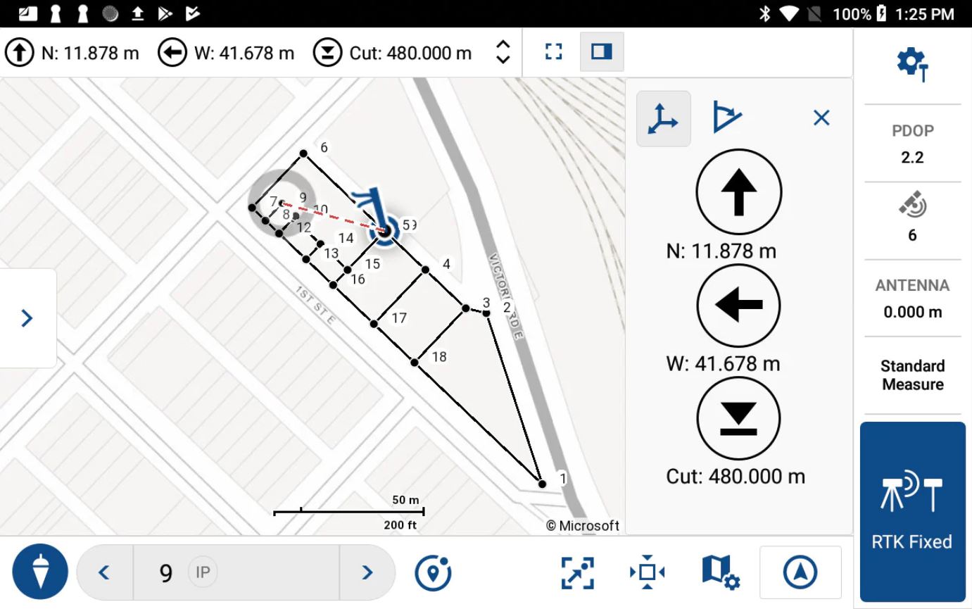
Staking Data Panel
FEATURES
- 1-year maintenance support contract include (if buying the 1-year package)
- Improved editing of line segments in the field.
- Rapid deployment of new features and bug fixes
- Access to the MicroSurvey library of coordinate systems, geoids and grid shift files.
- Easily assign codes to points.
- Display of satellite maps and images as background files in the map view screen.
- Conduct COGO calculations and save the results using project points.
- Create line work on the go while collection points.
- Updated point staking workflows and navigation displays.
- Support for a wide number of GNSS receivers from major Original Equipment Manufacturers.
- Measure points in the field.
What’s New on Fieldgenius for Android? click here to learn more on the latest version and latest additions.
About MicroSurvey
MicroSurvey develops computer software for Land Surveyors, Civil Engineers, Seismic Surveyors, Mapping Professionals, Police Officers, and Accident Reconstruction Specialists in more than 100 countries across the globe. MicroSurvey is built by surveyors for surveyors.
Aeromao Inc. is an authorized dealer for Microsurvey FieldGenius.
