





62
Countries served


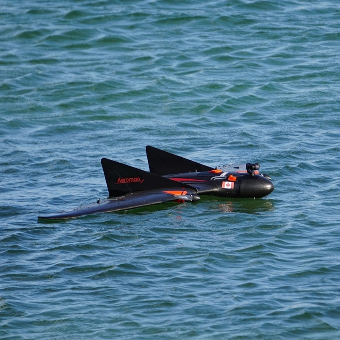
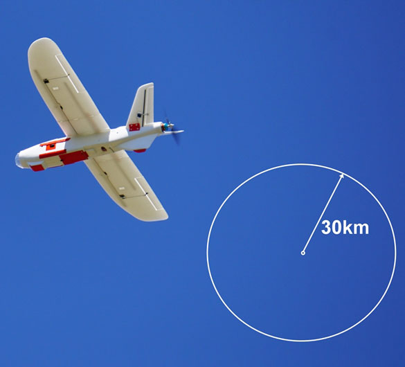
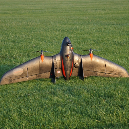
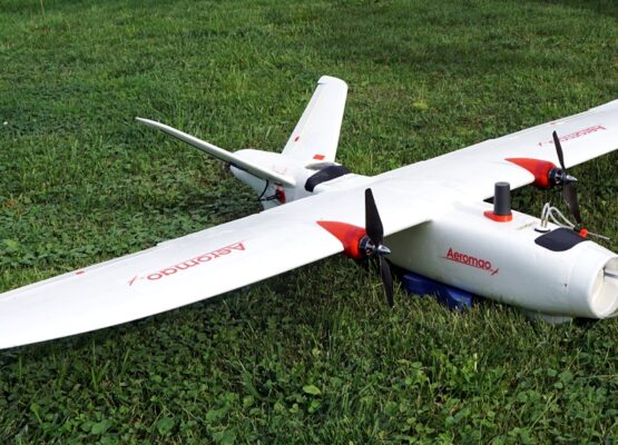
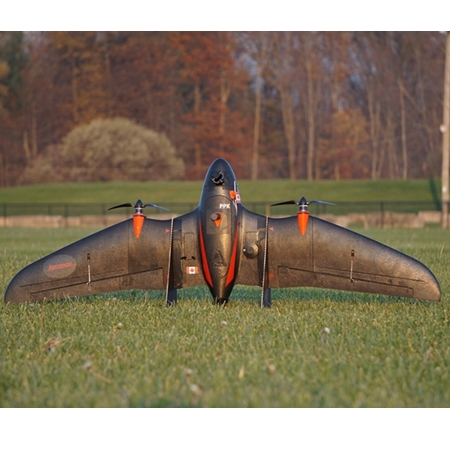
Our fixed wing drones continuously demonstrate BVLOS capabilities since 2016, large area coverage effectiveness and excellent wind resistance. We have a wide range of compatible payloads available such as PPK/RTK modules for precise mapping, long range video downlink systems, high resolution mapping cameras and multispectral sensors. We customize our drones to host other sensors or payloads to suit your specific needs of every client or any application. In 2018 we developed the Aeromapper Talon Amphibious fixed wing drone, specially designed for maritime operations for both monitoring and mapping tasks and which has been already used in BVLOS operations in several countries.
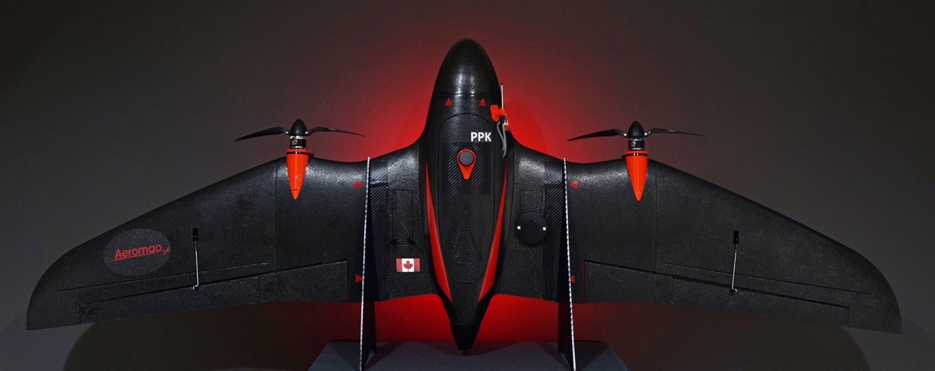
Aeromao is now proud to announce the next generation of fixed wing drone with the VT-Naut, a Vertical Takeoff and Short Landing (VTOSL) solution tailored to cater to the discerning needs of users seeking expansive surveying capabilities via a fixed wing drone, the VT-Naut eliminates the added costs associated with acquiring and operating a VTOL multirotor drone. Experience unparalleled efficiency without compromising on sophistication, as we redefine the landscape of large-area surveying.
The VT Naut is the world’s first vertical takeoff fixed wing drone that can land on the water, making it the ideal and only low cost solution for ship-board operations on marine environment.
The Aeromappers have been the choice of different large-scale UAV programs both in Canada and other nations thanks to its dependability & ongoing drone implementation assistance. Aeromao also provides training & operational support, payload customizations & strategic consultation, service and maintenance, so that customers can focus on the data acquisition and their applications with a future-proof UAV fleet that’s always backed and supported.
We also provide end to end drone mapping services worldwide. Whether you just need the acquisition of data or the final deliverables in the shortest amount of time possible, we are your got-to partner. We fly the missions and deliver the data right to your desk. We assist clients with mission planning consultation, flights over difficult terrain or harsh conditions, PPK training and implementation, flight training, bids & RQFs, long distance linear missions, BVLOS missions (Beyond Visual Line of Sight), surveillance, inspection & scouting, very large areas or extreme weather.
Professional mapping is not only a task of taking pictures with the help of a drone. For a big project, a drone has to stay up in the air for a while to collect valuable information, follow the route, and capture the right images for the correct outcome. That is especially true in a remote […]
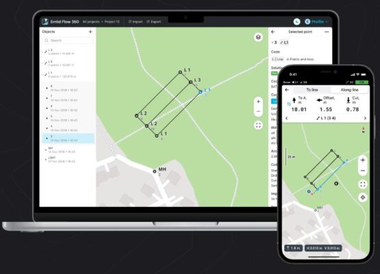
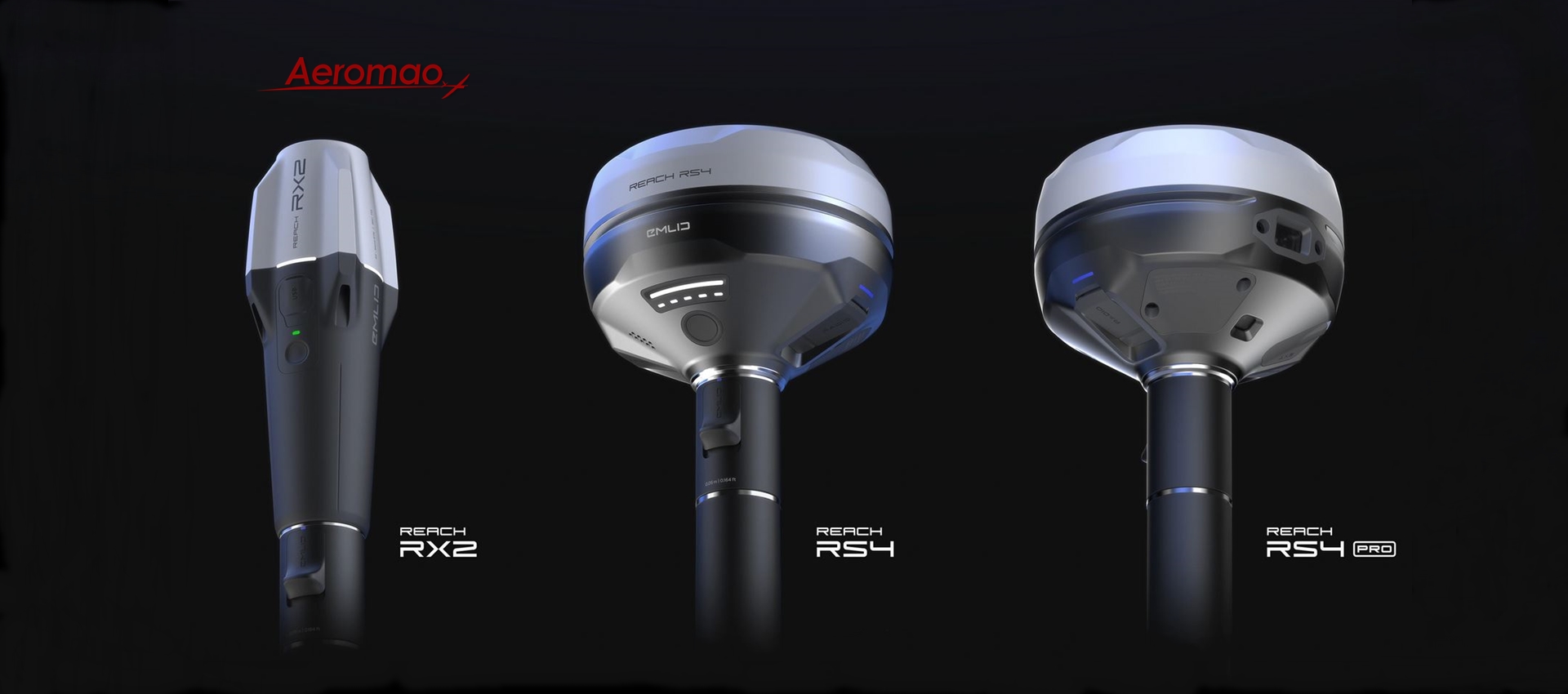
In the last few months, Emlid has added new surveying tools and coordinate systems to Emlid Flow and Emlid Flow 360 and simplified access to your Reach in a browser. Make sure you have updated your Reach firmware to version 31 and Emlid Flow to version 9.0 and explore the details. Use localization to calculate […]
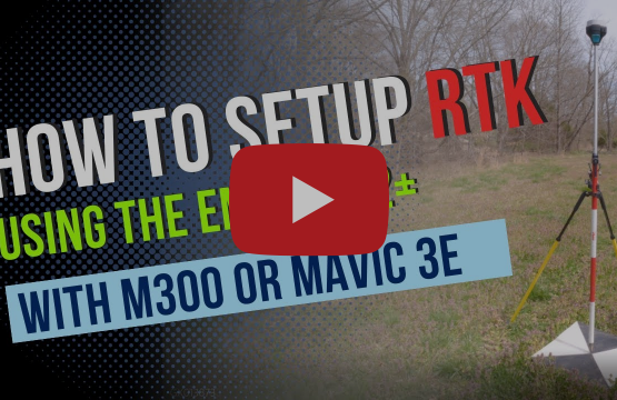
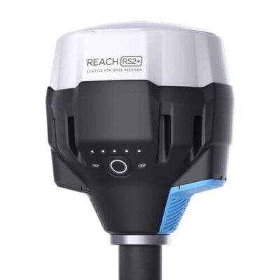
Emlid have collected some tips to help you get more out of your Emlid products. In this digest, you can learn how to set up your RS2+ with DJI drones, configure the base station in UTM coordinates, and access your Emlid Flow project on the web. May 2023 Source: Emlid DJI Mavic 3E with Reach RS2+ […]










What are the current regulations for operating a UAV drone in Canada?
Operating a UAV drone in Canada requires compliance with Transport Canada’s Part IX regulations. Most professional applications necessitate a Pilot Certificate. We design each UAV drone to meet safety standards. This ensures our commercial drones are ready for compliant operations in Canadian airspace and beyond. You can have peace of mind knowing this.
Can I fly a fixed-wing drone in cold weather environments?
Yes, our fixed-wing drone systems are engineered in Canada to withstand harsh, cold-weather climates. Unlike standard commercial drones, our industrial drone hardware features ruggedized components. We keep our UAV drone platforms stable and efficient, even in cold weather. This way, they deliver reliable data all year round.
What is BVLOS, and why is it important for drone mapping?
BVLOS stands for Beyond Visual Line of Sight, allowing for much larger coverage areas. It is essential for efficient drone mapping over vast territories. Our fixed-wing drone is designed for BVLOS missions. It offers the range and safety features needed for long-distance operations.
How do UAV companies in Canada support international clients?
Leading UAV companies in Canada, like us, provide global shipping and remote technical support. We ensure our UAV drone systems are delivered with comprehensive documentation. Whether you need an industrial drone in Europe or Asia, we provide the expertise and hardware to make your mission a success.
Is a fixed-wing drone better than a quadcopter for UAV mapping?
For large-scale UAV mapping, a fixed-wing drone is better. It flies longer and is more aerodynamic. While quadcopters are good for small areas, our industrial drone solutions cover hundreds of acres per flight. We recommend our platforms for professional-grade, high-efficiency data collection tasks.
What is the cost of a professional fixed wing drone system?
The price of a fixed-wing drone varies based on your specific sensor requirements and mission goals. As a specialized UAV manufacturer in Canada, we provide tailored packages. Please reach out to us to schedule a conversation so we can provide a quote that fits your organization’s needs.
Can I get a custom quote for a UAV drone in Canada?
We provide customized quotes for every UAV drone in Canada that we manufacture. Because every mission is unique, we prefer to discuss your needs directly to ensure accuracy. Please reach out to our team to schedule a conversation and receive a personalized estimate for your industrial drone system.