If you’re responsible for mapping hundreds or thousands of acres, you already know that small positioning errors don’t stay small. They turn into skewed maps, extra field trips, and costs nobody budgeted for. That’s why surveyors, contractors, and agricultural teams spend so much time debating one question before they even launch a drone: PPK or RTK?
At Aeromao Inc., we get asked this constantly, and the honest answer is that it’s not a “which one wins” question; it’s a “which one fits your job” question. Both PPK drone mapping and RTK GNSS receivers can get you centimetre-level accuracy, but they get there through different routes, each with trade-offs.
This guide breaks down how both methods work, where each shines, and what to weigh before choosing one for your next large-scale survey.
Understanding High-Accuracy Drone Mapping
Everyday GPS is fine for getting you to a restaurant. It’s not fine for engineering drawings or volume calculations, where a few meters of drift can throw off an entire dataset. Professional mapping needs something more precise.
Instead of trusting the drone’s raw satellite signal alone, high-accuracy mapping systems compare it against data from a known reference point. That difference lets the system correct for atmospheric interference and satellite drift, pushing accuracy down to a few centimetres.
PPK and RTK dominate this space. The main difference is timing: one makes changes while the drone is still in the air, while the other does it after the flight. That single distinction shapes field logistics, equipment needs, and how confident you can be in the results before leaving the site.
What Is PPK Drone Mapping?
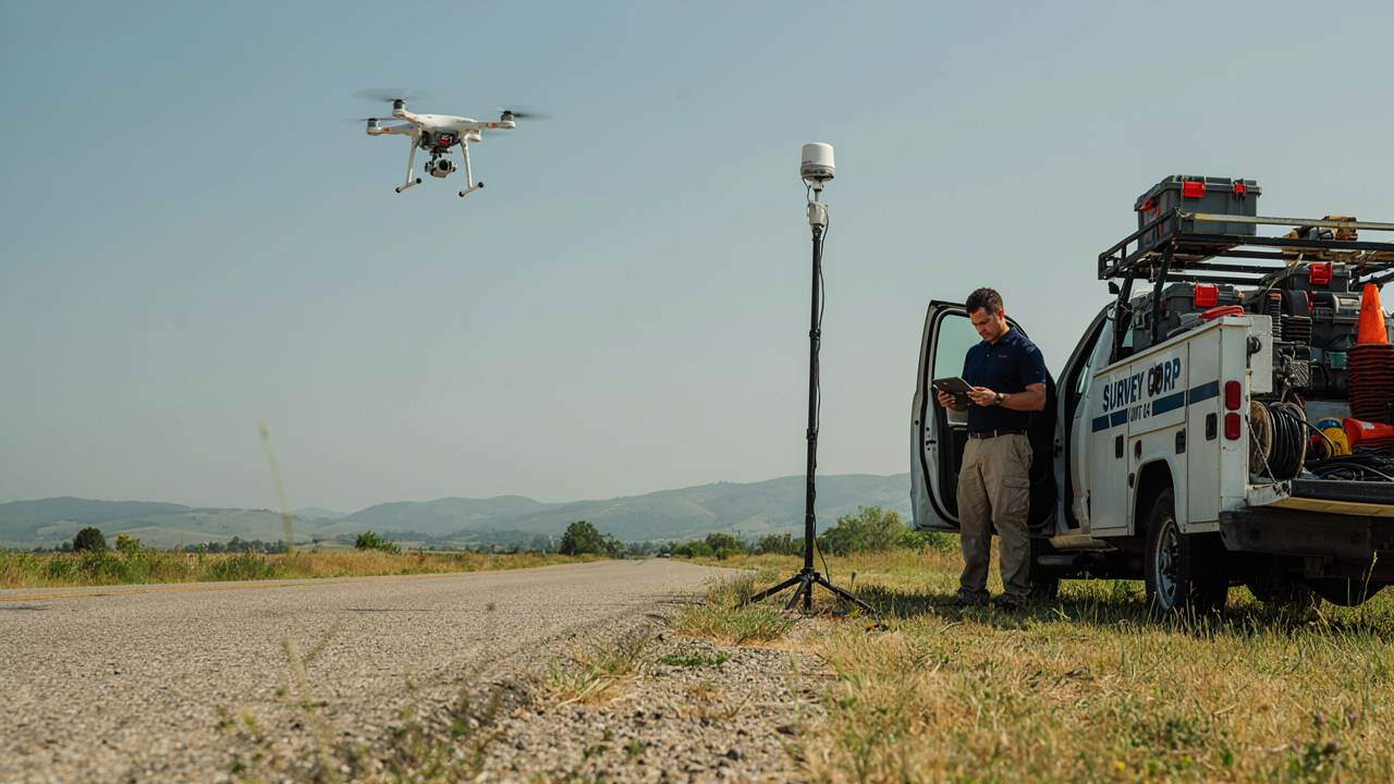
PPK, short for Post-Processed Kinematic Mapping, corrects data after the flight. The drone logs raw GNSS data with every photo, while a base station on a known point logs its own data at the same time. Software later lines up both datasets to calculate exact corrected positions for each image.
Since nothing happens live, PPK doesn’t need a stable link mid-flight, ideal for thick tree cover, mountains, or remote mine sites. It also lets you inspect data before finalizing deliverables. Most common on large agricultural, forestry, coastal, and mining surveys.
Advantages of PPK Drone Mapping
- Centimetre-level accuracy, consistently
- Doesn’t need internet during the flight
- Shrugs off temporary radio dropouts
- Lets you validate positioning data before finalizing results
- Handles large or hard-to-reach areas well
Limitations of PPK Drone Mapping
The trade-off is time. Because everything gets processed after landing, you won’t have finished maps the moment the drone touches down; someone still has to run the logs through processing software. For most teams, that wait is a small price for the added reliability, but it’s worth planning for in your schedule.
What Are RTK GNSS Receivers?
RTK, or Real-Time Kinematic positioning, applies corrections while the drone is still flying. A base station or correction network streams live data, so each photo already has corrected coordinates the moment it’s captured. Crews can review coverage minutes after landing, making it easy to spot and fix gaps on the spot.
The catch: RTK needs a steady connection the whole flight, either a radio link or an internet-based service. Dense forest, steep terrain, or patchy coverage can interrupt that link, dropping accuracy until it’s restored, which is worth considering before flying an unscouted site.
Advantages of RTK GNSS Receivers
- Corrections applied live, during flight
- Little to no post-processing needed
- Faster turnaround on deliverables
- Immediate field verification
- Solid accuracy for most commercial jobs
Limitations of RTK GNSS Receivers
RTK GNSS receivers are only as good as their signal, which is why teams in isolated or rugged terrain need to think hard about reliability before betting a mission on a real-time workflow. The good news: many drone platforms now support both correction methods, so operators can pick whichever fits the mission at hand.
PPK vs. RTK: Feature-by-Feature Comparison
| Feature | PPK Drone Mapping | RTK GNSS Receivers |
| Correction timing | After the flight | During the flight |
| Positioning accuracy | Centimetre-level | Centimetre-level |
| Internet requirement | Not required | Often needed for Network RTK |
| Reliance on live communication | Low | High |
| Data verification | Full review after landing | Limited once collected |
| Remote-area performance | Excellent | Depends on signal |
| Processing time | Requires post-processing | Faster delivery |
| Risk from signal interruption | Minimal | Higher |
| Best fit | Large or remote surveys | Construction, quick site checks |
| Overall feel | Flexible, reliable | Fast, efficient |
Rather than asking which one is objectively better, ask what your project actually needs. A mining company covering thousands of hectares has different priorities than a contractor who needs measurements confirmed before lunch.
Accuracy Comparison on Large Survey Projects
Big surveys behave differently than small ones. Flights run longer, aircraft cover more ground, and conditions can shift mid-mission, making reliability just as important as raw precision.
Either approach gives accurate results under favourable circumstances. RTK performs beautifully when the correction signal stays steady the whole flight, common on construction sites and other areas with decent infrastructure.
Remote terrain changes the equation. Mountains, dense forest, coastline, and isolated mine sites are exactly where communication tends to get shaky, and that’s where PPK earns its keep. Since the drone just logs raw data instead of depending on a live link, a dropped signal mid-flight doesn’t ruin anything; it still processes fine back at the office.
The post-flight review is the other piece people underestimate. Confirming the correction process worked before handing over final maps gives many teams peace of mind, especially on projects tied to engineering decisions or regulatory sign-off.
Factors to Consider Before Choosing Between PPK and RTK
Project Size
Bigger areas mean longer flights and more room for connectivity issues to creep in. Since PPK doesn’t rely on a live link, it usually handles that better. Short missions rarely need that extra flexibility.
Survey Environment
Open construction sites with decent infrastructure are RTK territory, since a stable signal is easy to maintain there. Rough, remote terrain, forests, mountains, and coastlines lean toward PPK instead.
Internet and Communication Availability
If you can’t guarantee steady coverage across the whole site, don’t build your workflow around a technology that depends on it. PPK sidesteps this problem entirely by processing corrections afterward.
Project Deadlines
RTK gets you usable data faster, which matters when a client needs numbers by the end of the day. PPK adds a processing step, so factor that time into your schedule.
Required Confidence in Final Results
Work tied to legal boundaries, engineering sign-off, or regulatory compliance benefits from PPK’s post-flight verification step. That extra review catches issues before they reach the final deliverable.
Operational Budget
Look at the whole workflow, not just the receiver’s price tag. Correction-network subscriptions, field logistics, and processing time all factor into the real cost of each approach.
When Should You Choose PPK Drone Mapping?
PPK tends to be the right call for remote mining operations, large forestry programs, environmental studies, coastal monitoring, and precision agriculture, any job where you can’t count on a stable connection the whole flight.
It’s also a good fit for long-endurance missions, since the crew doesn’t have to babysit a communication link. Plenty of research teams simply like the chance to double-check data before it becomes a final deliverable.
When Are RTK GNSS Receivers the Better Choice?
Construction sites are the classic RTK use case: tight schedules and site managers who need to confirm earthwork volumes without waiting on processing. Land development projects usually work well too, since they tend to sit in areas with dependable networks.
Utility inspections, transportation corridors, and engineering surveys also lean toward RTK: speed matters, and the site usually has the infrastructure to support a live correction feed. Just make sure someone checks satellite visibility and network coverage before the mission starts.
Can PPK and RTK Be Used Together?
No, and this trips people up more than it should. Many modern drone platforms record raw GNSS data for post-processing while simultaneously applying RTK corrections in flight, giving you immediate field feedback plus the option to refine data later.
This hybrid approach is genuinely useful for teams juggling different jobs. Map a construction site on Monday using RTK, then head to a remote mining survey on Wednesday and lean on PPK instead- same equipment, different workflow.
Looking Beyond Positioning: Why Drone Platform Selection Matters
Positioning technology is only half the equation. Flight endurance, payload capacity, and weather handling all affect how efficiently you can cover large areas. On projects spanning thousands of acres, constant battery swaps and limited range slow things down fast, no matter how good your GNSS setup is.
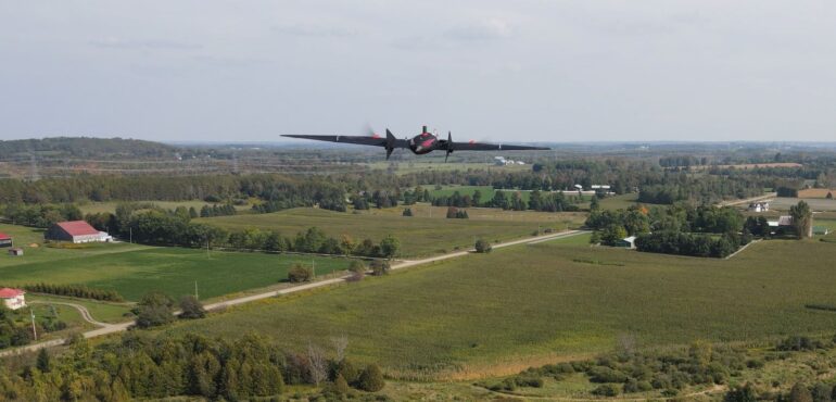
If you’re evaluating equipment for large-area work, our detailed guide on “Why Fixed-Wing Drones Now Dominate Large-Scale Mapping” covers how airframe design affects coverage and cost, a natural companion to the positioning discussion here.
Conclusion
There’s no universal winner between PPK and RTK, just a better fit for whatever you’re working on. PPK gives you reliability and flexibility on large, remote surveys. RTK gives you speed and immediate feedback when communication is solid. Knowing the strengths of each lets you build a workflow that matches the job instead of forcing the job to match the tool.
At Aeromao Inc., we help surveyors and mapping teams put together UAV workflows built around what their projects actually need. Reach out to our team for help finding the right approach for your next mapping job.
Frequently Asked Questions
What’s the main difference between PPK and RTK?
Timing is the main difference. PPK corrects positioning data after the flight; RTK corrects it in real time.
Which is more accurate for large-area surveys?
Both hit centimetre-level accuracy under good conditions. PPK is usually preferred for large or remote surveys since it doesn’t depend on a constant link and allows post-flight verification.
Does RTK always need the internet?
Not necessarily. RTK can run off a local base station with a radio link instead of an internet-based network. The Internet is mainly needed for Network RTK services.
Is PPK better for remote sites?
Generally, yes, since correction happens after the mission, PPK isn’t affected by weak signal or spotty internet in the field.
Can one drone support both PPK and RTK?
Yes, many current survey drones apply live RTK corrections during flight while also logging raw GNSS data for post-processing later.