Description
Image Sensor
Sensor Type:CMOS
Sensor Manufacturer:Sony
Effective Megapixels:42.4
Sensor Format:full frame
Sensor size:861.6mm2 (35.90mm x 24.00mm)
Approximate Pixel Pitch:4.51 microns
Focal Length Multiplier:1.0x
Aspect Ratio:3:2
Color Filter Type:RGBG
Anti Aliasing Filter:None
Color Depth (bits):26
Maximum Effective ISO:3,434
Image Capture
Image Resolution:
7952 x 5304 (42.2 MP, 3:2),
5168 x 3448 (17.8 MP, 3:2),
3984 x 2656 (10.6 MP, 3:2),
7952 x 4472 (35.6 MP, 16:9),
5168 x 2912 (15.0 MP, Other),
3984 x 2240 (8.9 MP, 16:9),
5168 x 3448 (17.8 MP, 3:2),
3984 x 2656 (10.6 MP, 3:2),
2592 x 1728 (4.5 MP, 3:2),
5168 x 2912 (15.0 MP, Other),
3984 x 2240 (8.9 MP, 16:9),
2592 x 1456 (3.8 MP, 16:9),
12416 x 1856 (23.0 MP, Other),
5536 x 2160 (12.0 MP, Other),
8192 x 1856 (15.2 MP, Other),
3872 x 2160 (8.4 MP, Other)
Image File Format:JPEG, RAW (14-bit ARW 2.3), RAW+JPEG
Continuous-mode frames/second:5.0
Video Capture
Video Resolution:
3840×2160 (30p/25p/24p)
1920×1080 (60p/60i/50p/50i/24p)
1280×720 (30p/25p)
1280×720 (120p)
Video File Format:XAVC S / AVCHD 2.0 / MP4; Audio: LPCM / Dolby Digital (AC-3) / MPEG-4 AAC-LC, stereo
HD Video Out:Yes
HD Video Connection:HDMI
Lens & Optics
Lens Mount:Sony E
Auto Focus: Yes
Manual Focus: Yes
Shutter Type:Mechanical shutter
Speed:1/8000-30sec
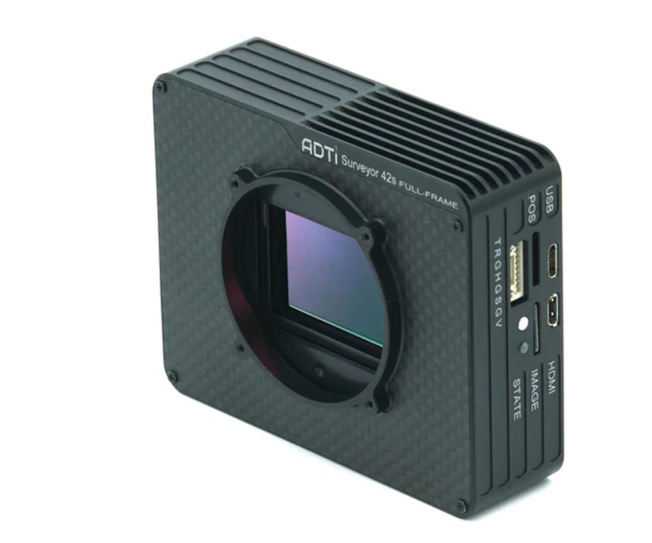
Camera
Camera Size: 9.2*7.4*3.1 cm
Camera Weight (body): 152 g
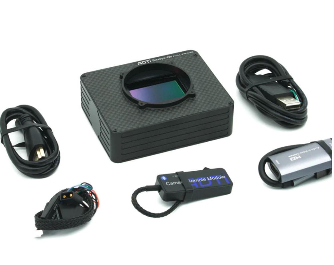
Package Size: 50*50*25 cm
Package Weight: 800 g
Power: 10-25V DC Lipo or Liion
Operating Temperature: -10 to 40°C