Home
About
PRODUCTS
VT-NAUT
Aeromapper Talon
Aeromapper Talon Amphibious
Emlid
DJI Drones
Surveying accessories
DJI Drones
Remote ID
Software
Shop
Services
Case Studies
News
Contact
Shop
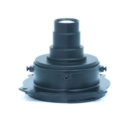
ADTi 50 mm Full Frame Professional Mapping Camera Lens
ADTi 50 mm Full Frame Professional Mapping Camera Lens
$
650.00 CAD
fixed focus (50mm – ∞ )
Aperture: F5.6
Mount type: E-mount
weight: 48 g
ADTi 50 mm Full Frame Professional Mapping Camera Lens quantity
Add to cart
Category:
Payloads & Accessories
Related products
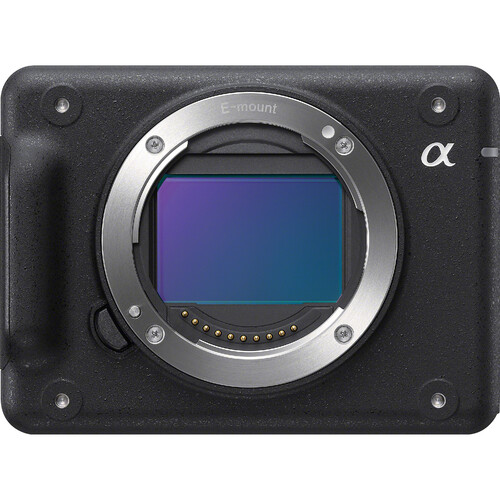
Sony ILX-LR1 61 Mp drone mapping camera
$
5,727.00 CAD
Add to cart
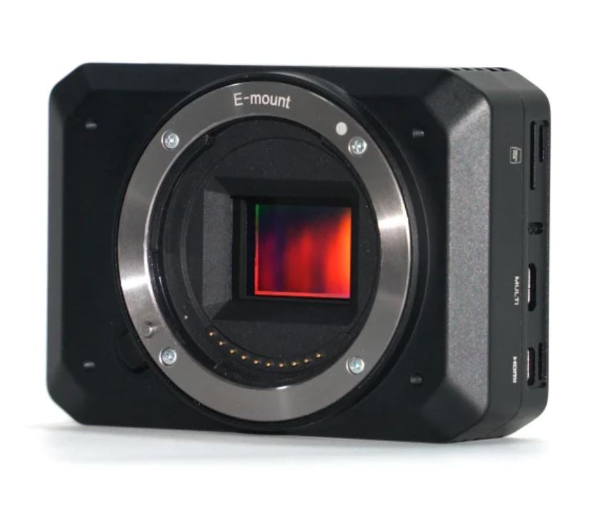
Surveyor 24s v3 Drone Mapping Camera (24Mp)
$
1,850.00 CAD
Add to cart
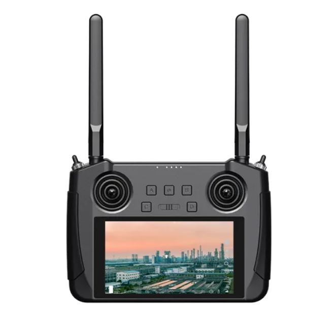
HD Long Range digital video downlink system
$
1,750.00 CAD
Add to cart
Recent Posts
Selecting The Right UAV Drone For Professional Survey Operations
June 16, 2026
The Ultimate Guide to Fixed-Wing Drones for Surveying and Mapping
June 10, 2026
Why Is Drone Mapping Revolutionizing Surveying Today
May 20, 2026
What Makes UAV Drones Essential In Canada Today
May 5, 2026
Why Businesses Are Rapidly Adopting Commercial Drones
April 29, 2026
Emlid Flow Localization feature and major updates
September 18, 2023
DJI Mavic 3E with Reach RS2+ base
June 7, 2023