Description
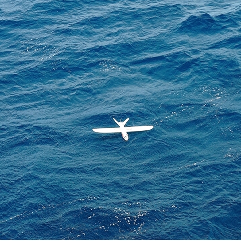
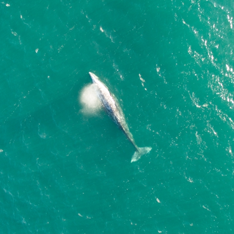
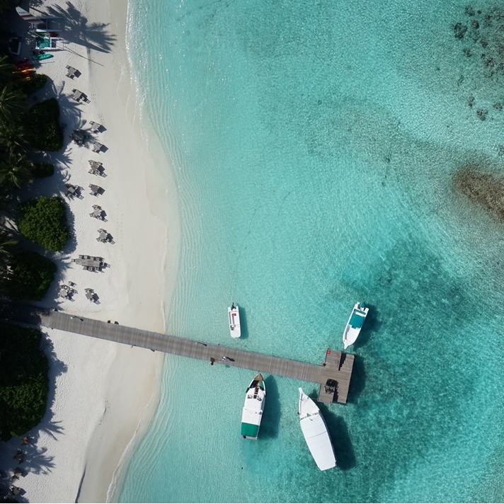
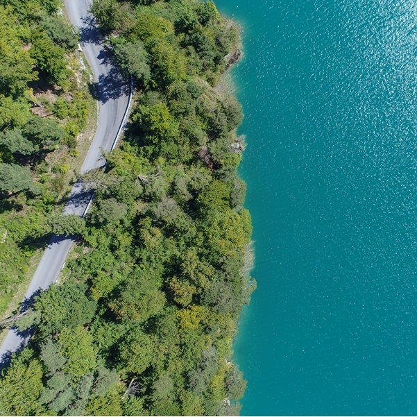
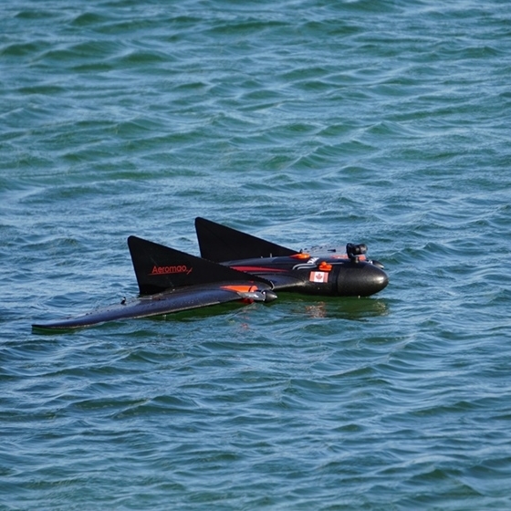
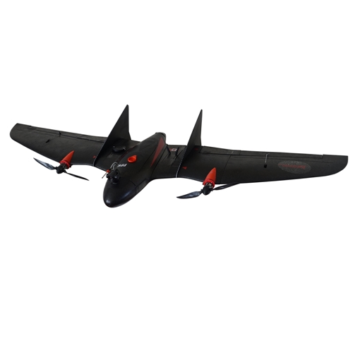
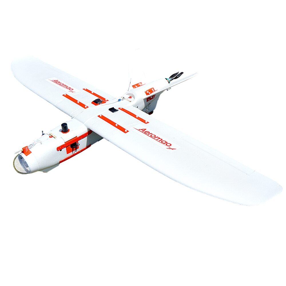
The Amphibious version of the Aeromapper Talon allows maritime operations by autonomously belly landing on water. It’s the perfect solution for aerial observation, data collection and mapping thanks to its dual camera set up and video link range up to 20kms. This fixed wing drone has been used very successfully in expeditions and operations in remote places around the globe, routinely flying BVLOS missions.
Expand your operations like never before by using lakes, rivers, and oceans as airfields.
- Transport Canada compliant drone
- 1.5 hr flight endurance.
- Available with a wide range of sensors and cameras, including long-range forward-looking video downlink system.
- Long range data link: up to 30km link distance away from GCS. Ideal for BVLOS operations.
- 10 minutes setup time in the field.
- Hand-launch & automatic belly landing on water or land.
- Fully autonomous.
System includes:
- Aeromapper Talon Unmanned System Ready to Fly.
- Batteries and battery charger.
- +30 Km Link system.
- User’s Manuals & Documentation.
- Heavy duty carrying case.
- Mission Planner Software.
- ADS-B live air traffic data system.
Specifications:
- Construction: EPO foam (durable, easy to repair, carbon fiber reinforced).
- Wingspan: 2 m.
- Weight: 3600 grams.
- Endurance: 1.5 – 2 Hours.
- Launch: Very easy to hand-launch.
- Takeoff: Fully automatic.
- Landing: Automatic belly landing on water or land. Parachute landing on land available.
- Range: +30kms. Tested in real BVLOS flight operations (Beyond Visual Line of Sight).
- Max. Altitude: About 4500 masl.
- Cruise speed: 62Km/h.
- Camera: 20Mp stills or up to 4K video, nadir orientation.
- Flight modes: Manual, Stabilize, Return to Home, Fly be Wire (automatic holding altitude and airspeed), Auto.
- Wind Tolerance: up to 45 km/h. for flight and autonomous belly landing. 25km/h for parachute landing.
- Maximum speed: +85 Km/h – Great stability and minimal roll & pitch oscillations in gusty conditions = no gimbal required for cameras & sensors.
- Failsafe: Automatically returns to home & loiter upon loss of RC link. Other fail-safe routines available.
- Telemetry: Battery status, alt, ground speed, compass, altitude, distance traveled, time on air (speech enabled), and more than +200 parameters more.
- Moving map display/telemetry: Drone position and heading, commands on map, fly to point on map, altitude changes, remote spot camera trigger, mission route, and more.
- Weather: All-weather performance. -20oC to +40oC.

