
Description
Now with MFi (Made for iPhone/iPad) certification!
The Rx GNSS receiver is fully compatible with ArcGIS Field Maps, QGIS, and other GIS apps for both iOS and Android. Flawless integration into GIS workflows will help industry professionals and teams collect accurate geodata at scale.
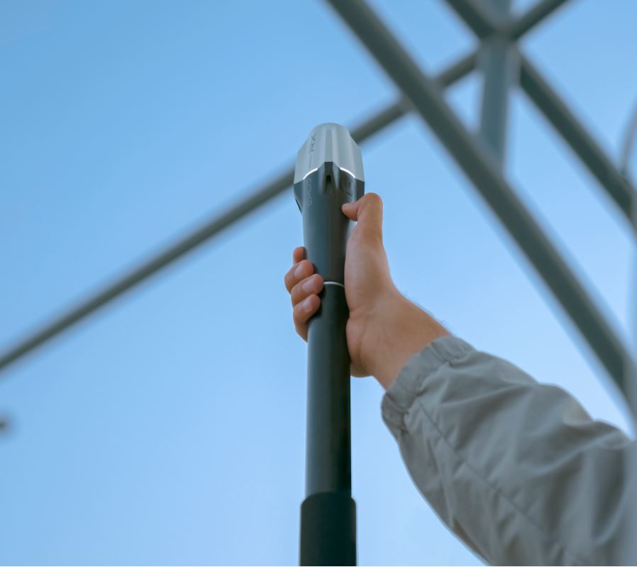
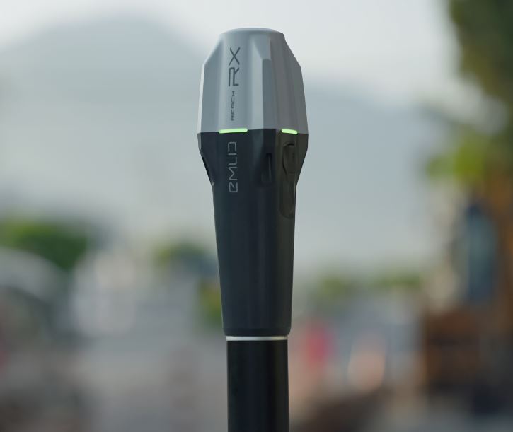
Reach RX is a network-rover
Reach RX uses the Bluetooth LE connection to your phone/tablet to receive a feed from the Internet, via an NTRIP[?] caster, so you’ll need some NTRIP credentials.
But don’t worry if you don’t have NTRIP credentials at the moment, because you could
- A) use a Reach RS2+ as your base-station, employing Emlid’s easy NTRIP casterfor the task; or
- B) pick up some NTRIP credentials from a local, government, or large-network NTRIP provider [extensive list].
- C) and operate their own NTRIP caster, e.g. using source code from GitHub.] (For advanced users).
Accomplish your basic surveying goals with the ReachView 3 app
Import and export points from ReachView 3 in various formats, such as Shapefile, DXF, and CSV.
Whether you collect, then export the points; or import, then stake-out the points; or just do everything you need within ReachView, you are assured of a simple process with universal options for moving your data in and out.
You could use your favorite third-party surveying/GIS app as well. There are techniques to make your device get its location from Reach RX, which allows any app to work with the accuracy of Reach RX. Some third-party apps will be able to work directly with Reach RX as well.
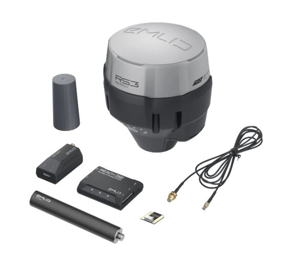
Reach RX details:
Technical training is not required
- there are no RTK settings if the NTRIP connection is up, it just works
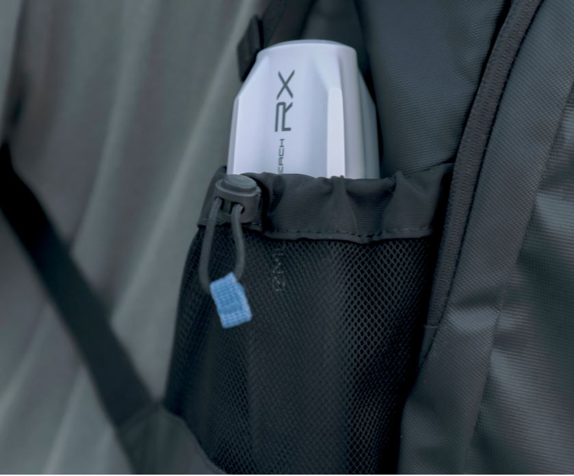
Compact and rugged:
- 250 grams
- 172 mm x 51 mm x 39 mm
- IP68 – waterproof to 1.5m depth – connector protected by dust plug
- wide operating range -20 C to +65 C
Industrial battery
- USB-C charge port
- lasts for two work-days (16 hours)
- fast charging – 1 hour allows for a full work-day’s use (8 hours)
- over 2000 charge/discharge cycles at original battery capacity
GNSS
- tracks GPS/QZSS, Galileo, Glonass, Beidou
- gets a fix in under 5 seconds even in challenging conditions
Deployment
- ready for multi-employee companies and multi-contractor job-sites
- having no device settings means less downtime and fewer support issues
- Emlid caster makes it trivial to connect to your own base station and save on commercial subscription fees
- alternatively, some commercial and large-network NTRIP services can provide users the freedom of movement that comes along with their national or large-regional coverage