Description
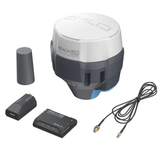
Meet the new Pix4D & Emlid Scanning kit: a fully integrated solution to capture precise digital models in minutes.
The kit combines advanced photogrammetry from Pix4D with RTK precision from Emlid. This enables quick data collection in various applications: from documenting utilities and as-builts to performing volumetric measurements and enriching aerial data with terrestrial scans.
Compared to traditional handheld laser scanners, the kit is compact and easy to use, enabling anyone on the team to capture accurate digital models.
Complete field-to-office workflow:
- Capture assets with PIX4Dcatch natively integrated with Reach RX.
- Bring your data to PIX4Dcloud or transfer it to a desktop.
- Post-process your data in Pix4Dmatic and Pix4Dsurvey.
You can just walk around the object while the scanning kit does the work for you

Underground utilities
Create open trench models to document and calculate volumes accurately.

Construction
Monitor as-built progress with accurate and quickly captured 3D models.

Drone mapping
Supplement your drone mapping results with terrestrial data for objects hidden from the drone’s view.

Forensics
Build accurate 3D collision scenes and add detailed measurements in real-time.
Powerful photogrammetry software by Pix4D
 1. Capture data
 .png)
The PIX4Dcatch mobile app with integrated Reach RX allows you to capture precise and geotagged data using your smartphone camera and LiDAR.
2. Process data 

Automatically upload your images to PIX4Dcloud for seamless processing OR import your images from your phone to the PIX4Dmatic desktop app using the PIX4Dcatch processing template. If necessary, you can even merge terrestrial and drone data.
3. Export to GIS, CAD, or BIM 
Mark your assets on PIX4Dsurvey as vectors in the point cloud and export them as DXF (for CAD) or SHP (for GIS).


