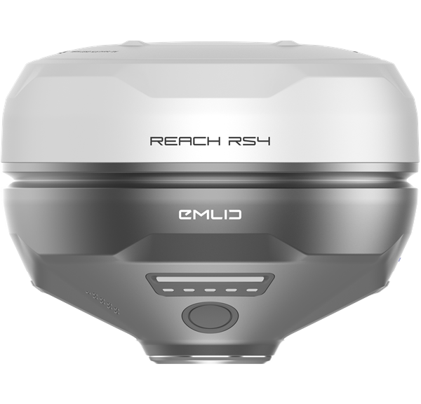

Description
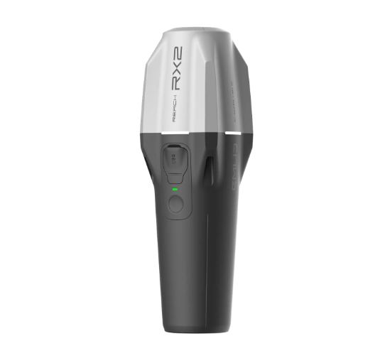
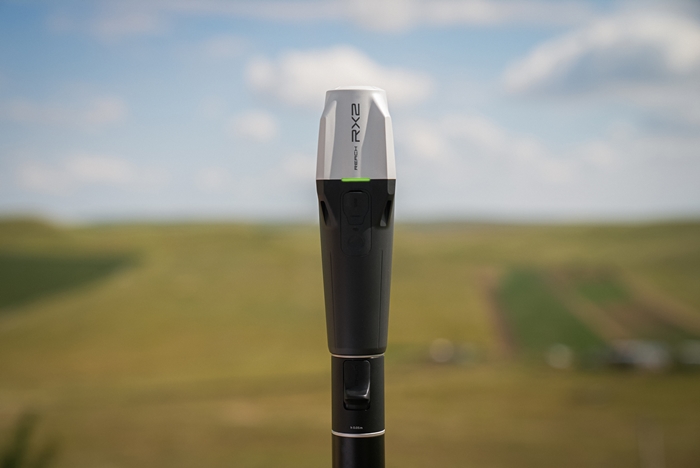
All-band RTK rover with tilt compensation. Effective teamwork with accuracy that fits in your pocket.
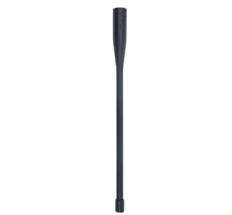
Available now with quick release mount.
No Setup required: Tilt compensation is on after just a short walk. No extra steps or calibration.
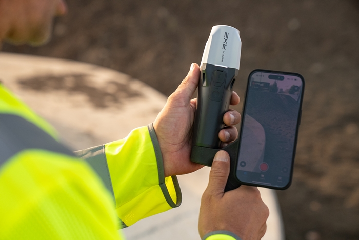
Compatible with Esri and other GIS apps
Integrate high-accuracy GPS data into your familiar workflow. This is perfect for local and state governments, urban planning, digital twins, water management, nature conservation, and much more besides.
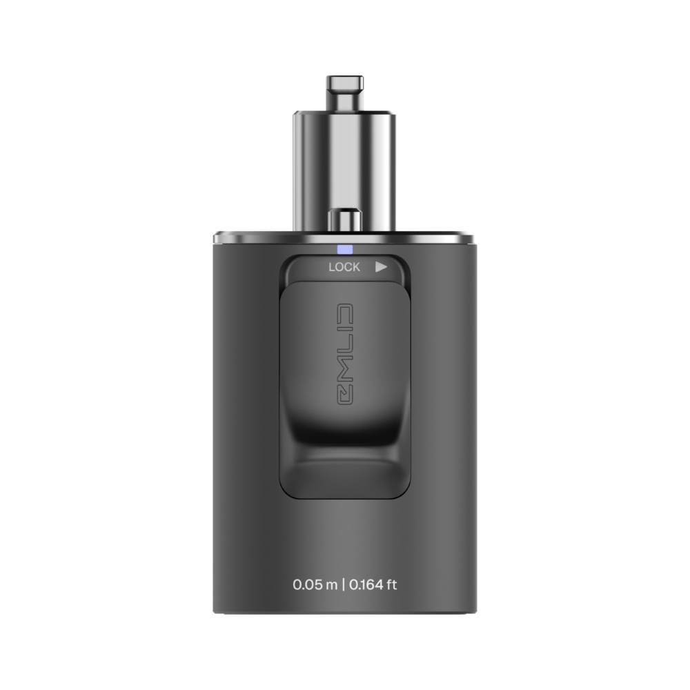
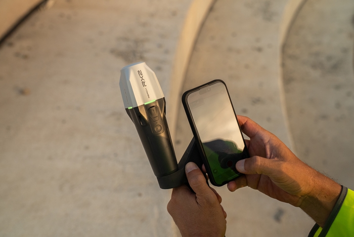
With Apple MFi certification, RX2 connects natively and reliably to iPhones and iPads. It also works seamlessly with Android devices.
RX2 supports all popular data collection apps, including ArcGIS Field Maps, QField, Survey123, Mergin Maps, and more.
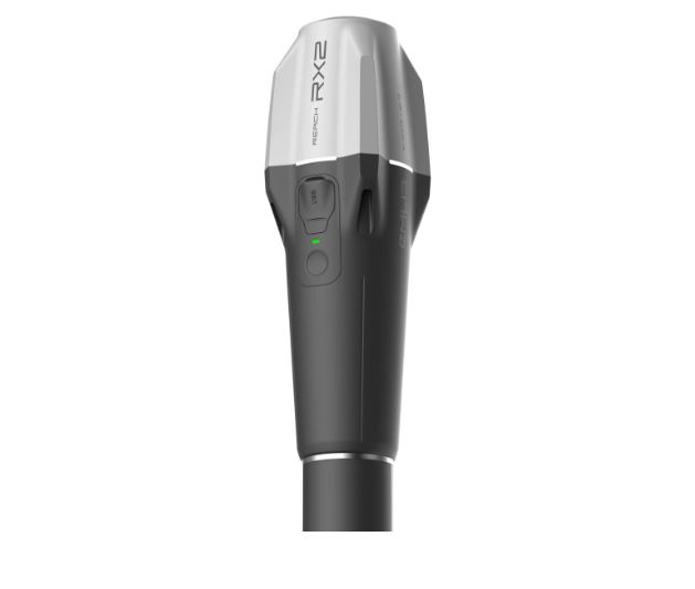
Terrestrial scanning with centimeter precision
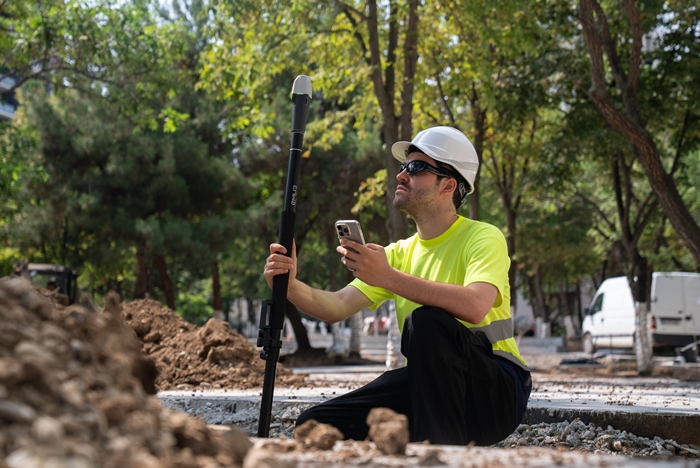
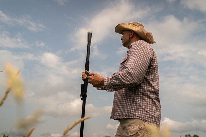
RX2 supports terrestrial scanning with high accuracy — just mount it on a handle and pair it with a scanning app like PIX4Dcatch.
Capture precise 3D models of vertical surfaces and hard-to-reach areas for utility mapping, volume calculations, and as-built documentation.
High accuracy, even under canopy
Centimeter-level accuracy
Simply connect the RX2 to a CORS network to receive corrections and get a precise location in RTK.
All-band rover
It tracks all bands of GPS, GLONASS, Galileo, Beidou, QZSS and NavIC. This ensures fast, stable performance under canopies and near buildings.
Fits your workflow
Ready for data collection and design layout
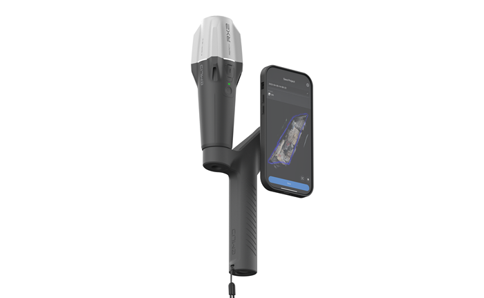
Every RX2 comes with Emlid Flow, our user-friendly app for iOS and Android that assists with a variety of field tasks in areas such as construction, utilities, GIS and landscaping.
All your data is instantly synced to the cloud, meaning your office team always has the latest updates.
- Set String lines and guide points: place reference points to guide construction and layout.
- Record Existing site features: document utilities, trees & structures for planning or design.
- Measure slopes and grades: Check inclines for proper drainage or terrain adjustments.
- Locate property corners: mark precise locations for buildings outlines or fence lines.
- Verify Features placement: confirm built elements match design plans accurately.
- Mark out DXF Designs: transfer points and lines to exact spots on site.
- Mark centerlines and offsets: trace the exact paths of roads, pipelines or structural elements.
- Capture elevations and identify cut/fill zones: plan and check the earthwork.
- Measure distances and angles precisely: determine exact distances and bearings between points for perfect alignment.
Reach RX2 Product specs
Positioning: Precision: RTK: H: 7 mm + 1 ppm / V: 14 mm + 1 ppm
Tilt: RTK + 2 mm + 0.3 mm/°
Convergence time: 5 s typically
Signal tracked:
– GPS: L1C/A, L2C, L5
– GLONASS: L1OF, L2OF
– Galileo: E1-B/C, E5a, E6
– BeiDou: B1I, B1C, B2a, B3I
– QZSS: L1C/A, L1C/B11, L2C, L5
– NavIC: L1-SPS Data, L5-SPS
Number of channels: 672
Update rates: 5 Hz
Connectivity: Communication interface: Bluetooth 4.2 (BR/EDR + LE)
Ports: USB Type-C port
Input data format: RTCM3
Input data protocol: NTRIP
Position data format: NMEA
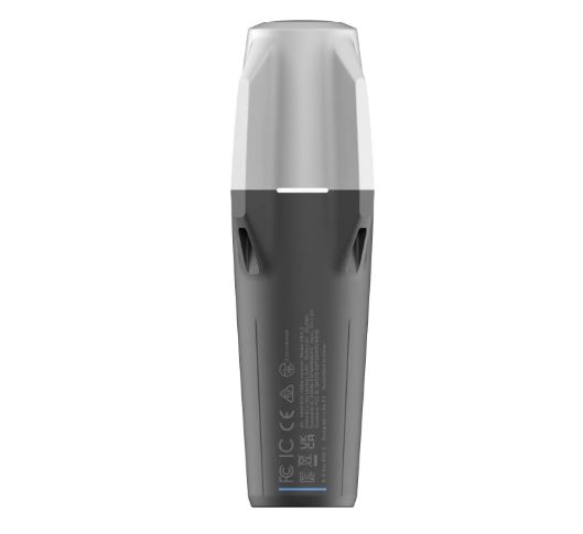
Dimensions: 172 x 51 x 51 mm (6.77 x 2.00 x 2.00 in)
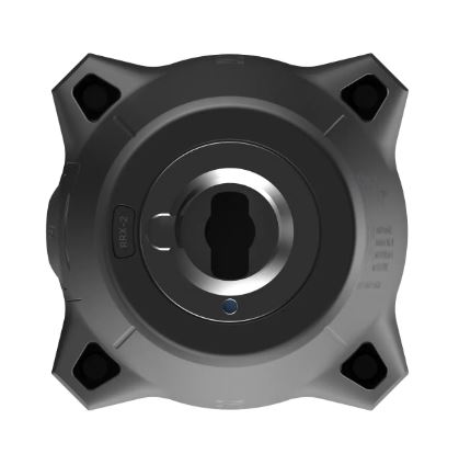
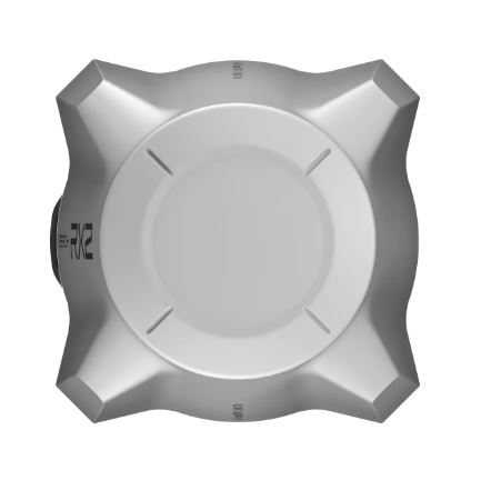
Mount: 5/8”-11 UNC and quick release
Weight: 280 g (0.62 lb)
Operating temperatures: 20 to +65 °C (4 to 149 °F)
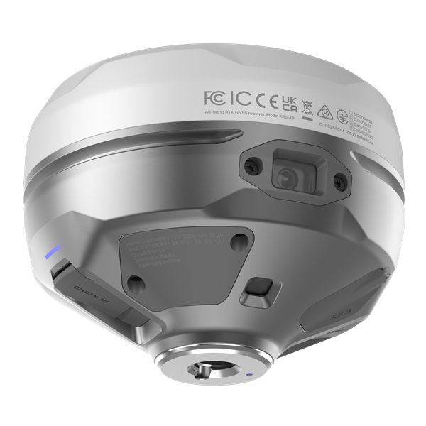
IP68 (maximum depth of 1.5 meters up to 30minutes)
Battery endurance: Up to 16 hrs. Li-Ion 7000 mAh, 3.6 V, 25.2 Wh
Charging: USB Type-C 5 V 2 A
Certification: FCC, CE, IC, MFi