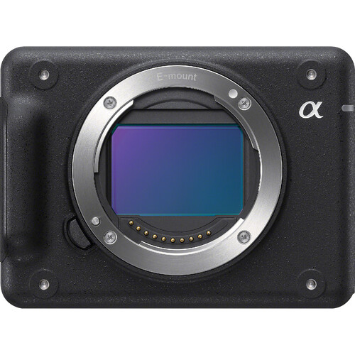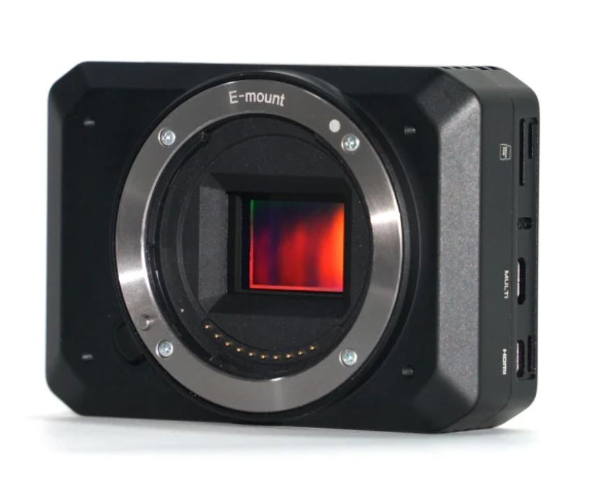
Description
It features:
1. lightweight (camera body 143 g)
2. compact in size (89.8 x 63 x 36.2 mm )
3. aluminum camera case
4. 24MP APS-C
Image Sensor
Sensor Type:CMOS
Sensor Manufacturer:Sony
Effective Megapixels:24.3
Sensor Format:APS-C
Sensor size:366.6mm2 (23.50mm x 15.60mm)
Approximate Pixel Pitch:3.92 microns
Focal Length Multiplier:3.13x
Aspect Ratio:3:2
Color Filter Type:RGBG
Anti Aliasing Filter:Fixed
Color Depth (bits):24.1
Maximum Effective ISO:1,347
Image Capture
Image Resolution:
6000 x 4000 (24.0 MP, 3:2),
6000 x 3376 (20.3 MP, 16:9),
4240 x 2832 (12.0 MP, 3:2),
4240 x 2400 (10.2 MP, Other),
3008 x 2000 (6.0 MP, 3:2),
3008 x 1688 (5.1 MP, 16:9),
12416 x 1856 (23.0 MP, Other),
8192 x 1856 (15.2 MP, Other),
2160 x 5536 (12.0 MP, Other),
2160 x 3872 (8.4 MP, Other)
Image File Format:JPEG, RAW, RAW+JPEG
Continuous-mode frames/second: 11.1
Video Capture
Video Resolution:
1920×1080 (60p/60i/30p/24p)
1440×1080 (30p)
640×480 (30p)
Video File Format:XAVC S/AVCHD 2.0 / MP4
HD Video Out:Yes
HD Video Connection:HDMI
Lens & Optics
Lens Mount:Sony E
Normal Focus Range:25 cm to Infinity
Auto Focus: Yes
Manual Focus: Yes
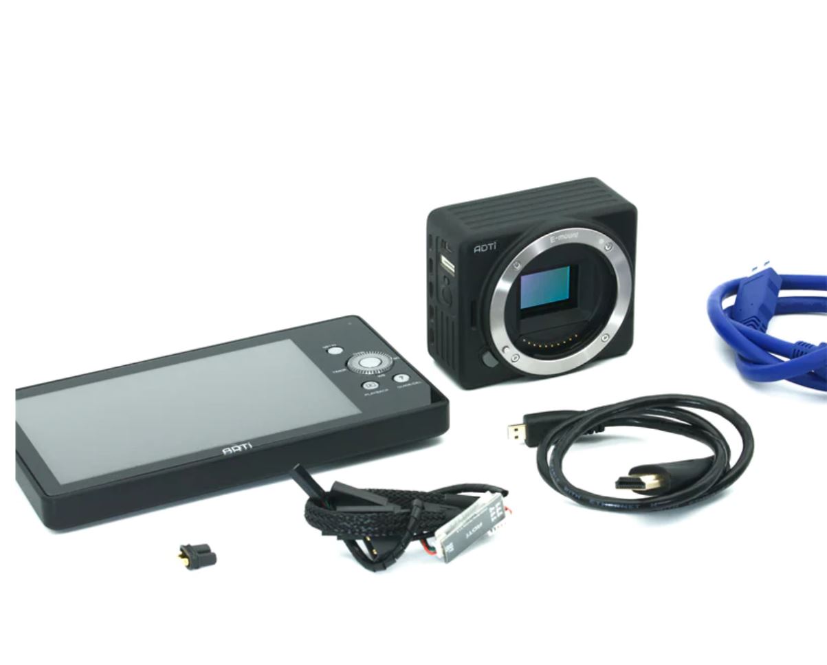
Display (detached)
Power: 5V DC
Buttons: No
Screen Size: 2 inch mini touch screen
Camera
Camera Size: 8.9* 6.3*3.6 cm
Camera Weight: 133 g
Package Size: 30*20*15 cm
Package Weight: 500 g
Power: 10-25V DC Lipo or Liion
Operating Temperature: -10 to 40°C