
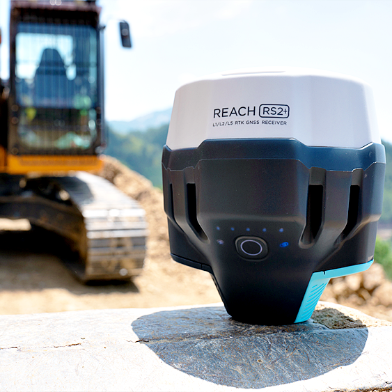

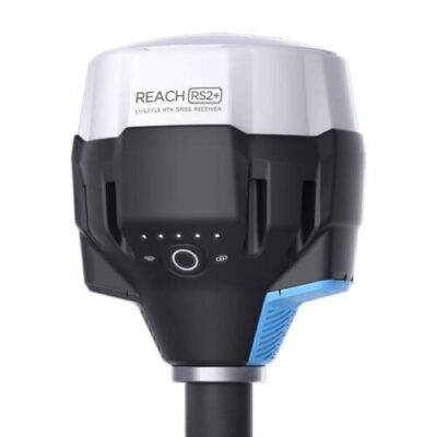

Description
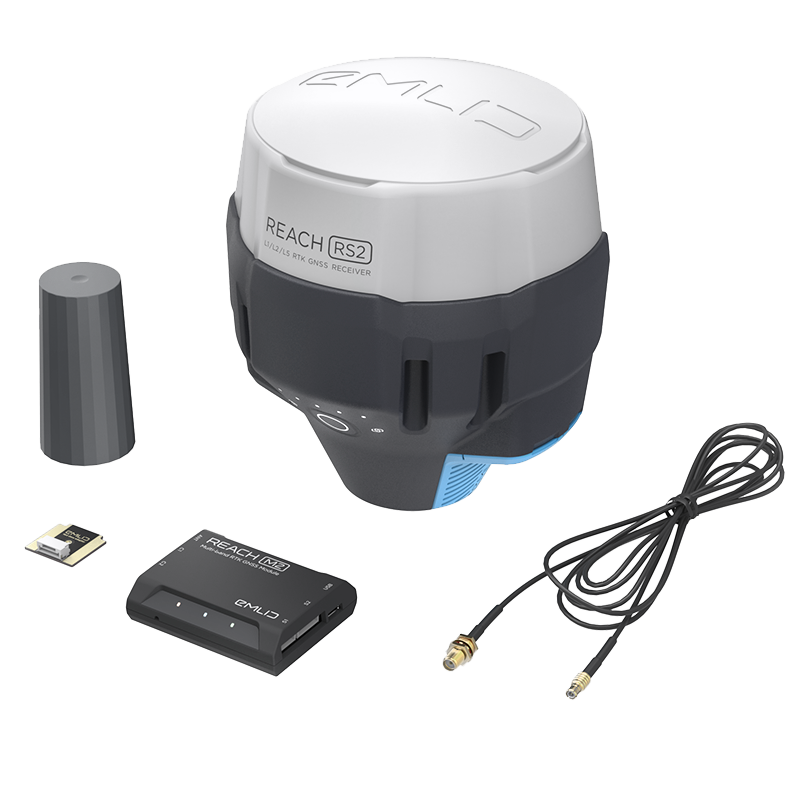
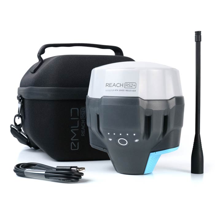
Package Contents
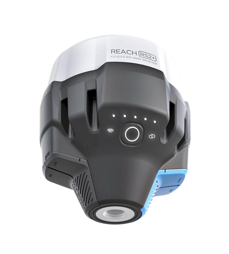
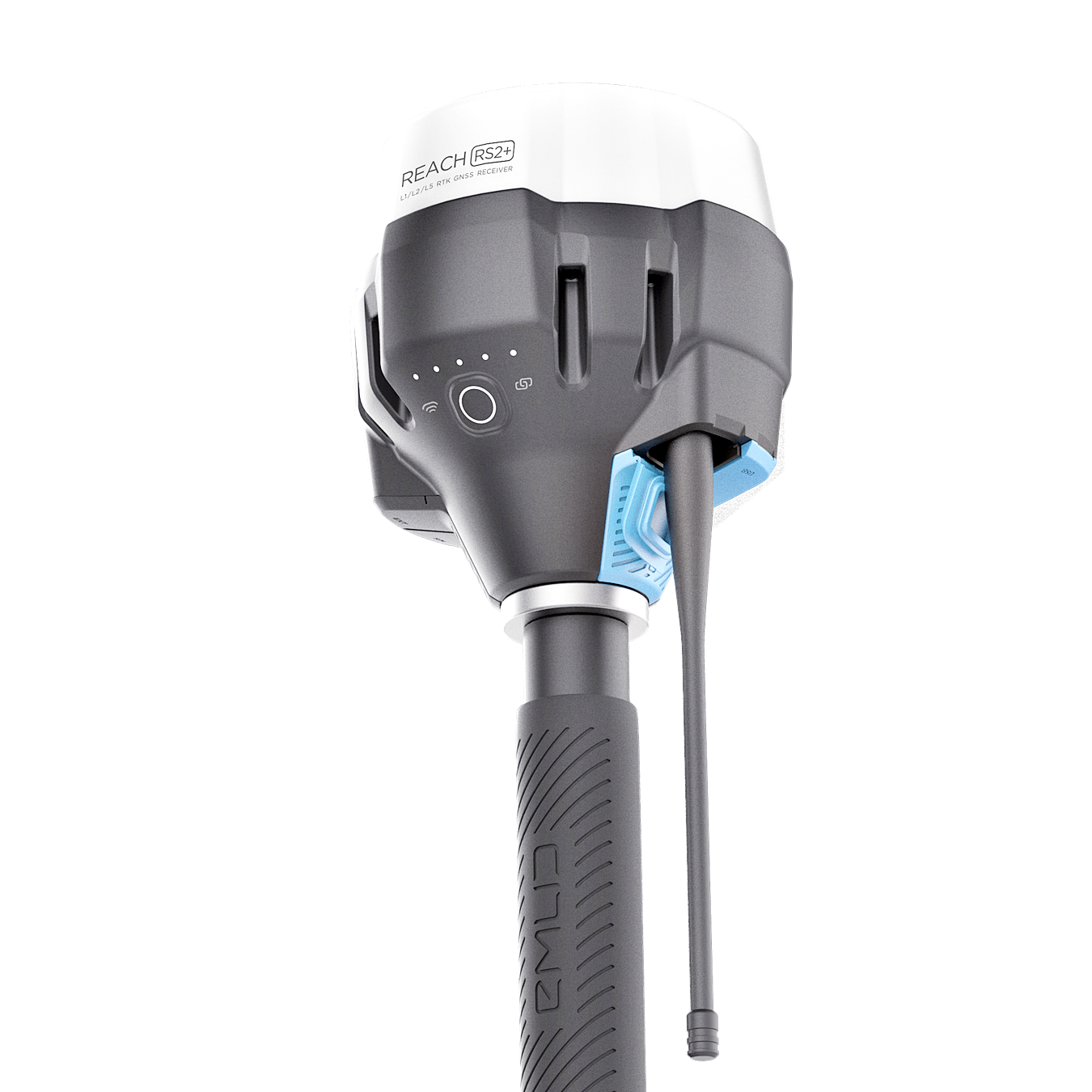
– Emlid Reach RS2+
– LoRa antenna
– USB cable
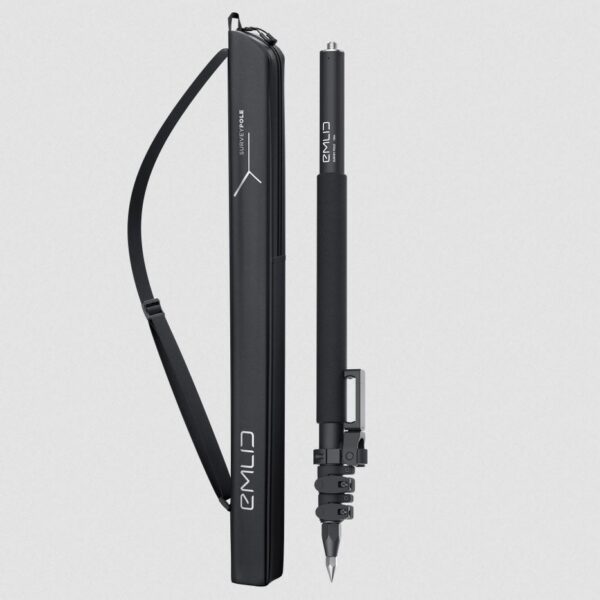
– Carrying case
– Emlid Flow app (free download)
What’s new in the RS2+?
Emlid has revamped its flagship multi-band GNSS receiver, with the RS2+ to provide enhanced usability, reliability and robustness. The built-in LTE modem enables you to connect to 2G, 3G and 4G networks, providing connectivity when and where you need it most. The RS2+ also features dual diversity LTE antennas for improved cellular reception, allowing you to maintain a stable connection and to explore further, even in harsh weather conditions.
In addition to all the features we know and love from the RS2, there is also a range of new design improvements to ensure your receiver is more rugged and reliable.
Gets fix in seconds
The Reach RS2+ allows you to secure a fixed solution in seconds and maintains robust performance even in challenging conditions.
In RTK mode, centimetre accuracy can be achieved over 60km. In PPK mode, you can achieve centimetre accuracy over 100km.
PPP support
Built-in LTE modem
The power-efficient LTE modem with global coverage means corrections can be accessed or broadcast over NTRIP independently, without relying on an internet connection from your phone.
22 hours on one charge
Reach RS2+ can log data for up to 22 hours and function as a cellular-connected rover for up to 16 hours, even in cold weather. With its long-life battery, you can be sure the RS2+ is ready when you are, and there’s no need to carry spare batteries.
The RS2+ can be charged from a USB wall charger or power bank via USB-C.
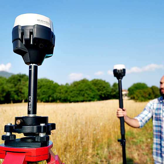
Surveying with Emlid Flow
The Reach RS2+ comes with the Emlid Flow app, providing an easy-to-use data collection mobile app solution for both Android and iOS. With Emlid Flow, you can collect and stakeout points and control all the features of Reach receivers, such as setting up a base station, logging RINEX data, and configuring NMEA output.
POINT COLLECTION
EXPORT
With Emlid Flow you can save points, export data in several different file formats (CSV, DXF and ShapeFile), and share it using your mobile device.
COORDINATE SYSTEMS
WGS84, NAD83, GDA94, GDA2020, and others
LOGGING
Record three types of logs with RS2+: position, base correction and raw data. Point collection and recording of RAW data are independent processes and can be used simultaneously. Users of the Emlid Flow mobile app can use the simple and intuitive interface for logging configuration and control.
Emlid also provides Emlid Studio for PPK. It’s free and can be downloaded from Emlid’s online docs.
STAKEOUT
Stakeout is used to find exact physical locations of points. They can be collected in Emlid Flow or imported from other CAD or GIS software.
DOWNLOAD THE APP
Emlid Flow – Apps on Google Play
Emlid Flow on the App Store (apple.com)
Base station mode
The RS2+ can be used as a base station, compatible with other GNSS receivers that support RTCM3 and NTRIP, such as the Reach RS2, RS+, M2 and M+. Corrections can be sent over the network via NTRIP/TCP or LoRa radio, and base logs can be recorded for post-processing. External radios are also supported over the RS-232 built-in interface.
Real-time navigation
Reach RS2+ can send precise coordinates over Bluetooth or Wi-Fi to your tablet with a lightbar navigation app. RS-232 interface allows you to connect Reach RS2+ directly to an auto-steering system.
COMPATIBLE APPS
MachineryGuide, AgriBus-Navi, Efarmer, Agripilot.
SOLUTION FORMATS
NMEA, ERB, plain text.
GNSS
GPS/QZSS L1C/A, L2C
GLONASS L1OF, L2OF
BeiDou B1I, B2I
Galileo E1-B/C, E5b
Connectivity
LoRa radio 868/915MHz (up to 8Km)
Built-in LTE modem (Nano-SIM)
Wi-Fi 802.11b/g/n
Bluetooth 4.0/2.1 EDR
Ports: RS-232, USB Type-C
Positioning Accuracy
PPK
Horizontal 5mm + 0.5 ppm
Vertical 10mm + 1 ppm
RTK
Horizontal 7mm + 1 ppm
Vertical 14mm + 1 ppm
Data
NTRIP and RTCM3 corrections
NMEA and LLH/XYZ position output
RINEX logs with update rate up to 20Hz
16GB internal storage
Specifications:
- LTE modem
- Regions Global
- Bands FDD-LTE: 1, 2, 3, 4, 5, 7, 8, 12, 13, 18, 19, 20, 26, 28, 66
- TD-LTE: 38, 40, 41
- UMTS (WCDMA/FDD): 1, 3, 2, 4, 5, 6, 8, 19
- Quad-Band, 850/1900, 900/1800 MHz
- SIM card Nano-SIM
Engineered to be tough
- IP67
- IMPACT-RESISTANT
- -20ºС…+65ºС
- RUGGED 5/8″ MOUNT
- LONG LASTING BATTERY
- COMPACT AND LIGHTWEIGHT