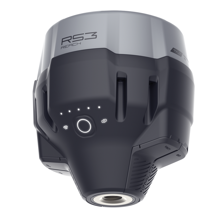
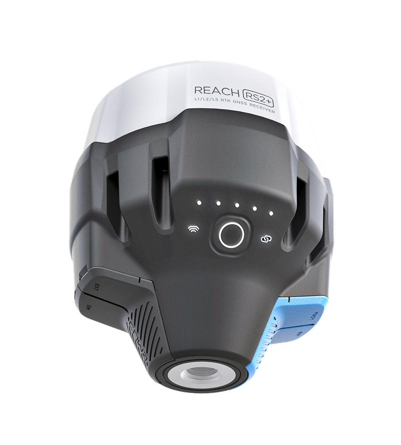
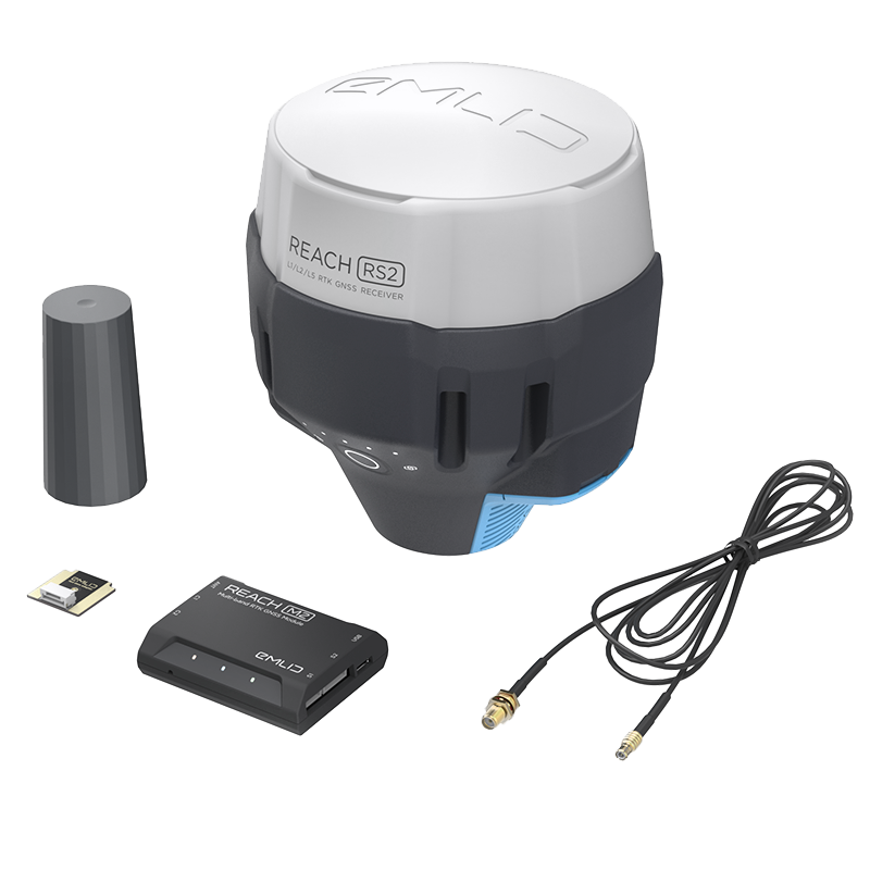
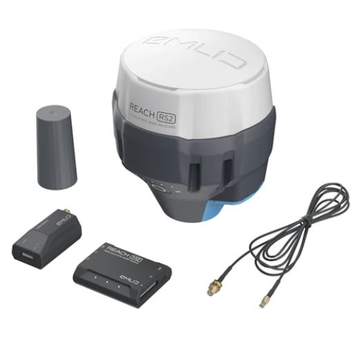
Aeromao Aeromao Aeromao
  • Home
  • About
  • PRODUCTS
    • VT-NAUT
    • Aeromapper Talon
    • Aeromapper Talon Amphibious
    • Emlid
    • DJI Drones
    • Surveying accessories
    • DJI Drones
    • Remote ID
    • Software
    • Shop
  • Services
  • Case Studies
  • News
  • Contact
  • Shop
  •  

Emlid Reach RX Scanning kit

Sale!
Emlid Reach RX Scanning kit

Emlid Reach RX Scanning kit

$3,241.00 CAD Original price was: $3,241.00 CAD.$3,034.00 CADCurrent price is: $3,034.00 CAD.

Integrated Emlid and Pix4D solution to get digital model in minutes with survey-grade accuracy. Scan your assets with your mobile phone, store online, annotate, measure and share with your stakeholders. Verify geolocated positions and visualize the project in Augmented Reality.

This kit includes:

  • Emlid Scannit kit (Emlid handle, leash, 5 tags, carrying case, key)
  • Reach Rx GNSS Receiver
Categories: Emlid, Emlid Bundles, Surveying accessories
  • Description

Description

Meet the new Pix4D & Emlid Scanning kit: a fully integrated solution to capture precise digital models in minutes.

The kit combines advanced photogrammetry from Pix4D with RTK precision from Emlid. This enables quick data collection in various applications: from documenting utilities and as-builts to performing volumetric measurements and enriching aerial data with terrestrial scans.

Compared to traditional handheld laser scanners, the kit is compact and easy to use, enabling anyone on the team to capture accurate digital models.

Complete field-to-office workflow:

  • Capture assets with PIX4Dcatch natively integrated with Reach RX.
  • Bring your data to PIX4Dcloud or transfer it to a desktop.
  • Post-process your data in Pix4Dmatic and Pix4Dsurvey.

You can just walk around the object while the scanning kit does the work for you

Underground utilities

Create open trench models to document and calculate volumes accurately.

Construction

Monitor as-built progress with accurate and quickly captured 3D models.

Drone mapping

Supplement your drone mapping results with terrestrial data for objects hidden from the drone’s view.

Forensics

Build accurate 3D collision scenes and add detailed measurements in real-time.

POWERFUL PHOTOGRAMMETRY SOFTWARE BY PIX4D

1. Capture data 

The PIX4Dcatch mobile app with integrated Reach RX allows you to capture precise and geotagged data using your smartphone camera and LiDAR.

2. Process data  

Automatically upload your images to PIX4Dcloud for seamless processing OR import your images from your phone to the PIX4Dmatic desktop app using the PIX4Dcatch processing template. If necessary, you can even merge terrestrial and drone data.

3. Export to GIS, CAD, or BIM 

Mark your assets on PIX4Dsurvey as vectors in the point cloud and export them as DXF (for CAD) or SHP (for GIS).

You may also like…

  • Sale! Reach RS3Reach RS3 $3,647.00 CAD Original price was: $3,647.00 CAD.$3,599.00 CADCurrent price is: $3,599.00 CAD. Add to cart
    Reach RS3
    $3,647.00 CAD Original price was: $3,647.00 CAD.$3,599.00 CADCurrent price is: $3,599.00 CAD.

Related products

  • Reach RS+ LoRa antennaReach RS+ LoRa antenna $29.00 CAD Add to cart
    Reach RS+ LoRa antenna
    $29.00 CAD
  • Sale! Reach RS2+ Survey KitReach RS2+ Survey Kit $6,484.00 CAD Original price was: $6,484.00 CAD.$6,458.00 CADCurrent price is: $6,458.00 CAD. Add to cart
    Reach RS2+ Survey Kit
    $6,484.00 CAD Original price was: $6,484.00 CAD.$6,458.00 CADCurrent price is: $6,458.00 CAD.
  • Sale! Pix4D & EMLID Scanning Kit STANDARD (no Reach RX)Pix4D & EMLID Scanning Kit STANDARD (no Reach RX) $4,013.00 CAD Original price was: $4,013.00 CAD.$2,740.00 CADCurrent price is: $2,740.00 CAD. Add to cart
    Pix4D & EMLID Scanning Kit STANDARD (no Reach RX)
    $4,013.00 CAD Original price was: $4,013.00 CAD.$2,740.00 CADCurrent price is: $2,740.00 CAD.
Recent Posts
  • Emlid Flow Localization feature and major updates September 18, 2023
  • DJI Mavic 3E with Reach RS2+ base June 7, 2023
  • Aeromao wins Bid to supply water-landing Aeromapper Talons to United Nations FAO Philippines December 29, 2022
  • The Ocean Clean Up & Oceans Unmanned chose Aeromapper Talon Amphibious for second year in a row December 29, 2022
  • Talon Amphibious used to detect Illegal fishing December 29, 2022
  • Drones for Environmental Protection July 6, 2021
  • Aeromapper Talon Amphibious Routinely Fly BVLOS Missions Over Marine Reserve For Illegal Fishing Detection And Biodiversity Research. August 2, 2019

UAV manufacturer and developer of the unmanned aerial vehicles for mapping, surveying, precision agriculture and remote sensing.

Support : 1-647–928–4747
Mon to Fri : 9:00am – 5:00pm
Email : info@aeromao.com

Latest News

  • Emlid Flow Localization feature and major updates September 18, 2023
  • DJI Mavic 3E with Reach RS2+ base June 7, 2023
  • Aeromao wins Bid to supply water-landing Aeromapper Talons to United Nations FAO Philippines December 29, 2022

Our Products

  • VT-NAUT
  • Payloads & Accessories
  • Emlid
  • Fixed Wing Drones
  • Software
  • Surveying accessories

Social Links

payment-methods

©2024 Aeromao Inc. All Rights Reserved.
Store Policy | Terms & Conditions