Showing 1–15 of 126 results
-
Sale!
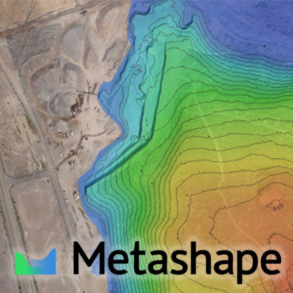 Agisoft Metashape
Price range: $319.00 CAD through $9,599.00 CAD
Select options
This product has multiple variants. The options may be chosen on the product page
Agisoft Metashape
Price range: $319.00 CAD through $9,599.00 CAD
Select options
This product has multiple variants. The options may be chosen on the product page
-
Sale!Agisoft Metashape PROFESSIONAL, Node-Locked
Price range: $4,799.00 CAD through $31,319.00 CAD
Select options
This product has multiple variants. The options may be chosen on the product page
-
Sale!Agisoft Metashape PROFESSIONAL, Floating License
Price range: $9,599.00 CAD through $62,729.00 CAD
Select options
This product has multiple variants. The options may be chosen on the product page